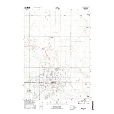
2015 Map of Mason City
USGS Topo · Published 2015About this map
Mason City serves as the regional anchor of this northern Iowa landscape, defined by the winding course of the Winnebago River and its numerous tributaries. The city's cultural heritage is etched into the map with landmarks like the Meredith Willson - Music Man Footbridge, honoring the local ties to the famous musical. Settlement patterns extend beyond the urban center to include Central Heights and the smaller northern outposts of Freeman and Plymouth Junction. The map shows a high density of civic and institutional sites, from the extensive grounds of Elmwood Cem and the Independent Order of Odd Fellows Cem to educational hubs like the North Iowa Area Community Coll. The rural periphery is marked by a geometric grid of county roads and drainage features like Calmus Cr and Ideal Cr, illustrating the transition from the concentrated city core to the surrounding agricultural plains.
Find a feature on this map
52 named features on this map. Tap any name to fly to it.
Don’t see what you’re looking for? This feature index may not catch every label — zoom into the map to look around manually.
Map Details
Editions of this 2015 Mason City Map
This is the sole edition of this map. No revisions or reprints were ever made.
Other maps of this area

1954 · Mason City
USGS Topo · 1:250,000

1957 · Mason City
USGS Topo · 1:250,000

1958 · Mason City
USGS Topo · 1:250,000

1959 · Mason City
USGS Topo · 1:24,000

1959 · Mason City
USGS Topo · 1:62,500

1959 · Nora Springs
USGS Topo · 1:24,000

1959 · Mason City SE
USGS Topo · 1:24,000

1959 · Hanford
USGS Topo · 1:24,000

1972 · Manly
USGS Topo · 1:24,000

1972 · Burchinal
USGS Topo · 1:24,000