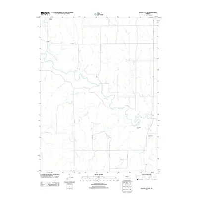
2011 Map of Mason City SW
USGS Topo · Published 2011About this map
The South Loup River meanders across this Custer County landscape, defining the character of a rural Nebraska region during the early 21st century. The small settlement of Cumro serves as a focal point for the surrounding agricultural community, where local history is anchored by the Box Elder Cemetery to the north along Box Elder Creek. The drainage patterns are clearly defined by a network of waterways including Kilgore Creek, Sand Creek, and Otter Creek, which feed into the main river valley.
Find a feature on this map
23 named features on this map. Tap any name to fly to it.
Don’t see what you’re looking for? This feature index may not catch every label — zoom into the map to look around manually.
Map Details
Editions of this 2011 Mason City SW Map
This is the sole edition of this map. No revisions or reprints were ever made.
Other maps of this area

1896 · Lexington
USGS Topo · 1:125,000

1896 · Kearney
USGS Topo · 1:125,000

1899 · Lexington
USGS Topo · 1:125,000

1951 · Eddyville NE
USGS Topo · 1:24,000

1951 · Mason City SW
USGS Topo · 1:24,000

1951 · Eddyville
USGS Topo · 1:24,000

1951 · Mason City NW
USGS Topo · 1:24,000

1951 · Mason City
USGS Topo · 1:24,000

1951 · Mason City SE
USGS Topo · 1:24,000

1955 · Broken Bow
USGS Topo · 1:250,000