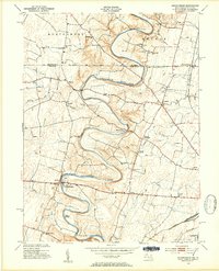
1953 Map of Mason-Dixon
USGS Topo · Published 1954About this map
Conococheague Creek snakes across the Maryland-Pennsylvania border in this mid-century topographic record, defining a landscape of sharp limestone bends and fertile valley floor. The Mason and Dixon Line serves as a stark administrative boundary between Montgomery and Antrim townships, crossing the creek's meandering path as it flows toward the Potomac. This era shows a well-established rural economy connected by the Western Maryland and Pennsylvania railroads, which served local industrial points like the Wilson Quarry.
Find a feature on this map
46 named features on this map. Tap any name to fly to it.
Don’t see what you’re looking for? This feature index may not catch every label — zoom into the map to look around manually.
Map Details
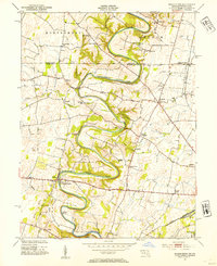
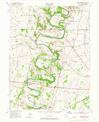
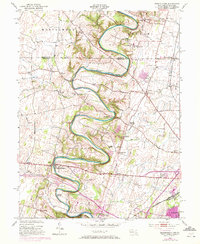
Editions of this 1953 Mason-Dixon Map
4 editions found
Other maps of this area

1900 · Mercersburg
USGS Topo · 1:62,500

1902 · Chambersburg
USGS Topo · 1:62,500

1902 · Mercersburg
USGS Topo · 1:62,500

1909 · Hagerstown
USGS Topo · 1:48,000

1912 · Hagerstown
USGS Topo · 1:62,500

1912 · Williamsport
USGS Topo · 1:62,500

1942 · Hagerstown
USGS Topo · 1:125,000

1943 · Hagerstown
USGS Topo · 1:125,000

1943 · Mercersburg
USGS Topo · 1:24,000

1943 · Chambersburg
USGS Topo · 1:62,500