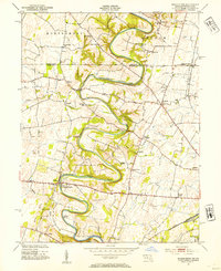
1953 Map of Mason-Dixon
USGS Topo · Published 1954About this map
Conococheague Creek snakes through the center of this borderland landscape, its deep meanders defining the local topography between the Pennsylvania-Maryland line. The map highlights a rural economy tied to the land and water, featuring the Fairview Mill and the Wilson Quarry near the settlement of Wilson. Transportation networks are firmly established by the mid-20th century, with the Western Maryland and Pennsylvania railroads cutting through the countryside toward the industrial hub of Hagerstown. Scattered crossroads communities like Cearfoss and Martins Crossroads serve as anchors for a landscape dotted with country schools such as White Pine Sch and Locust Level Sch, and historic congregations including Reiffs Ch and Mt Zion Ch. This survey captures the region just before modern suburban expansion began to significantly alter these traditional agricultural patterns.
Find a feature on this map
50 named features on this map. Tap any name to fly to it.
Don’t see what you’re looking for? This feature index may not catch every label — zoom into the map to look around manually.
Map Details
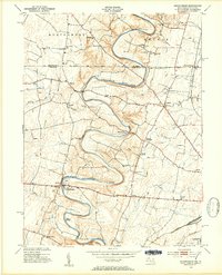
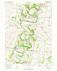
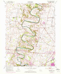
Editions of this 1953 Mason-Dixon Map
4 editions found
Other maps of this area

1900 · Mercersburg
USGS Topo · 1:62,500

1902 · Chambersburg
USGS Topo · 1:62,500

1902 · Mercersburg
USGS Topo · 1:62,500

1909 · Hagerstown
USGS Topo · 1:48,000

1912 · Hagerstown
USGS Topo · 1:62,500

1912 · Williamsport
USGS Topo · 1:62,500

1942 · Hagerstown
USGS Topo · 1:125,000

1943 · Hagerstown
USGS Topo · 1:125,000

1943 · Mercersburg
USGS Topo · 1:24,000

1943 · Chambersburg
USGS Topo · 1:62,500