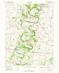
1953 Map of Mason-Dixon
USGS Topo · Published 1966About this map
Conococheague Creek dominates this landscape, its deep meanders carving through the Maryland and Pennsylvania borderlands. This 1953 revision captures the agrarian and industrial character of Washington County just after the war, showing the Mason and Dixon Line dividing Montgomery and Antrim townships. The map reveals a dense network of local landmarks, from the Wilson Quarry and Jamison Yard to rural social centers like Sunrise Sch and Pleasant Hill Ch.
Find a feature on this map
50 named features on this map. Tap any name to fly to it.
Don’t see what you’re looking for? This feature index may not catch every label — zoom into the map to look around manually.
Map Details
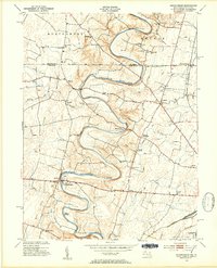
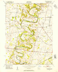
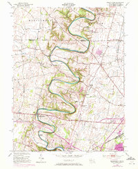
Editions of this 1953 Mason-Dixon Map
4 editions found
Other maps of this area

1900 · Mercersburg
USGS Topo · 1:62,500

1902 · Chambersburg
USGS Topo · 1:62,500

1902 · Mercersburg
USGS Topo · 1:62,500

1909 · Hagerstown
USGS Topo · 1:48,000

1912 · Hagerstown
USGS Topo · 1:62,500

1912 · Williamsport
USGS Topo · 1:62,500

1942 · Hagerstown
USGS Topo · 1:125,000

1943 · Hagerstown
USGS Topo · 1:125,000

1943 · Mercersburg
USGS Topo · 1:24,000

1943 · Chambersburg
USGS Topo · 1:62,500