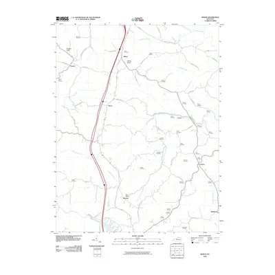
2010 Map of Mason
USGS Topo · Published 2010About this map
Small rural hamlets and an extensive network of family cemeteries define this pocket of Grant County at the beginning of the twenty-first century. Settlement is anchored by Mason, Blanchet, and Cordova, with smaller clusters at Heekin and Hilltop. The landscape is heavily dissected by the winding waters of Fork Lick Creek and Musselman Creek, while Simpson Ridge provides prominent elevation in the northwest.
Find a feature on this map
74 named features on this map. Tap any name to fly to it.
Don’t see what you’re looking for? This feature index may not catch every label — zoom into the map to look around manually.
Map Details
Editions of this 2010 Mason Map
This is the sole edition of this map. No revisions or reprints were ever made.
Other maps of this area

1929 · Cynthiana
USGS Topo · 1:48,000

1930 · Falmouth
USGS Topo · 1:48,000

1934 · Cynthiana
USGS Topo · 1:62,500

1936 · Falmouth
USGS Topo · 1:62,500

1939 · Sadieville
USGS Topo · 1:62,500

1950 · Mason
USGS Topo · 1:24,000

1950 · Elliston
USGS Topo · 1:24,000

1950 · Williamstown
USGS Topo · 1:24,000

1950 · Lawrenceville
USGS Topo · 1:24,000

1953 · Sadieville
USGS Topo · 1:24,000