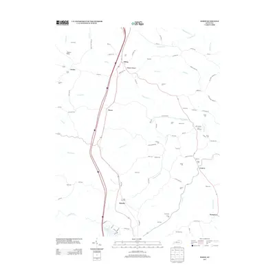
2013 Map of Mason
USGS Topo · Published 2013About this map
Simpson Ridge and the winding drainages of Fork Lick Cr define this landscape in Grant County, where traditional rural settlements like Mason and Blanchet are bisected by the modern Interstate 75 corridor. The map reveals an intricate network of family and community history through its high density of small burial grounds, including the Sheriff Cem, Clark Cem, and Anness Cem. These sites, often situated at the ends of winding lanes like Dark Region Rd or Stone School House Rd, point to the area's deep-rooted agrarian heritage.
Find a feature on this map
92 named features on this map. Tap any name to fly to it.
Don’t see what you’re looking for? This feature index may not catch every label — zoom into the map to look around manually.
Map Details
Editions of this 2013 Mason Map
This is the sole edition of this map. No revisions or reprints were ever made.
Other maps of this area

1929 · Cynthiana
USGS Topo · 1:48,000

1930 · Falmouth
USGS Topo · 1:48,000

1934 · Cynthiana
USGS Topo · 1:62,500

1936 · Falmouth
USGS Topo · 1:62,500

1939 · Sadieville
USGS Topo · 1:62,500

1950 · Mason
USGS Topo · 1:24,000

1950 · Elliston
USGS Topo · 1:24,000

1950 · Williamstown
USGS Topo · 1:24,000

1950 · Lawrenceville
USGS Topo · 1:24,000

1953 · Sadieville
USGS Topo · 1:24,000