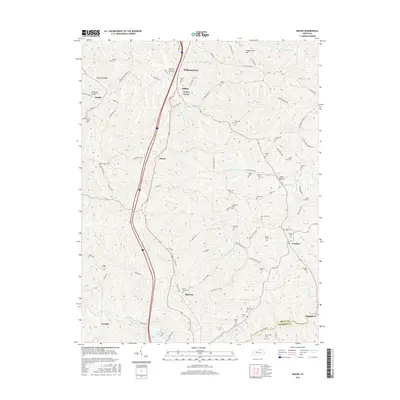
2016 Map of Mason
USGS Topo · Published 2016About this map
Williamstown and Corinth anchor the northern and southern reaches of this Grant County landscape, where the ridge-and-valley topography of central Kentucky dictates the placement of long-standing family settlements and cemeteries. The modern corridor of the interstate cuts through the center, paralleling older routes like S Main and Mason Rd, yet the surrounding hills remain dotted with dozens of small burial grounds that speak to the area's deep genealogical roots. From Sheriff Cem near Simpson Ridge to Brewsaugh Cem on the Harrison County line, these sites preserve the names of the families who farmed the land between Clarks Cr and the various forks of Fork Lick Cr. Corinth Lake and Odors Bottom illustrate the varied drainage patterns of a region defined by its narrow hollows and high points like Coopertown Hill.
Find a feature on this map
95 named features on this map. Tap any name to fly to it.
Don’t see what you’re looking for? This feature index may not catch every label — zoom into the map to look around manually.
Map Details
Editions of this 2016 Mason Map
This is the sole edition of this map. No revisions or reprints were ever made.
Other maps of this area

1929 · Cynthiana
USGS Topo · 1:48,000

1930 · Falmouth
USGS Topo · 1:48,000

1934 · Cynthiana
USGS Topo · 1:62,500

1936 · Falmouth
USGS Topo · 1:62,500

1939 · Sadieville
USGS Topo · 1:62,500

1950 · Mason
USGS Topo · 1:24,000

1950 · Elliston
USGS Topo · 1:24,000

1950 · Williamstown
USGS Topo · 1:24,000

1950 · Lawrenceville
USGS Topo · 1:24,000

1953 · Sadieville
USGS Topo · 1:24,000