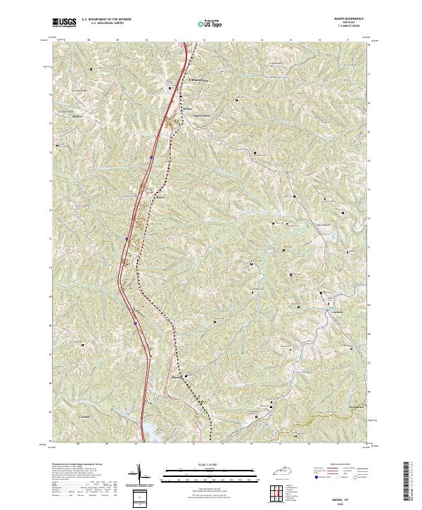
2022 Map of Mason
USGS Topo · Published 2022About this map
Williamstown anchors the northern reaches of this rural Grant County landscape, where the terrain transitions from the heights of Simpson Ridge and Chipman Ridge into a dense network of creek valleys. The area is defined by its small crossroads settlements and an exceptionally high concentration of family and community burial grounds. From the Kentucky Veterans Cem North near the county seat to the isolated Risen Cem and Ackman Cem, the map provides a significant record for genealogical research. Narrow ridgeline roads like Oak Ridge Rd and Lincoln Ridge Rd connect disparate hamlets such as Mason and Blanchet, following the natural contours above Fork Lick Cr and Musselman Cr. The southeastern corner near the Grant and Harrison county line shows the quiet clustering of Cordova and Stringtown, centers of local life amidst the rolling topography of Odors Bottom.
Find a feature on this map
103 named features on this map. Tap any name to fly to it.
Don’t see what you’re looking for? This feature index may not catch every label — zoom into the map to look around manually.
Map Details
Editions of this 2022 Mason Map
This is the sole edition of this map. No revisions or reprints were ever made.
Other maps of this area

1929 · Cynthiana
USGS Topo · 1:48,000

1930 · Falmouth
USGS Topo · 1:48,000

1934 · Cynthiana
USGS Topo · 1:62,500

1936 · Falmouth
USGS Topo · 1:62,500

1939 · Sadieville
USGS Topo · 1:62,500

1950 · Mason
USGS Topo · 1:24,000

1950 · Elliston
USGS Topo · 1:24,000

1950 · Williamstown
USGS Topo · 1:24,000

1950 · Lawrenceville
USGS Topo · 1:24,000

1953 · Sadieville
USGS Topo · 1:24,000