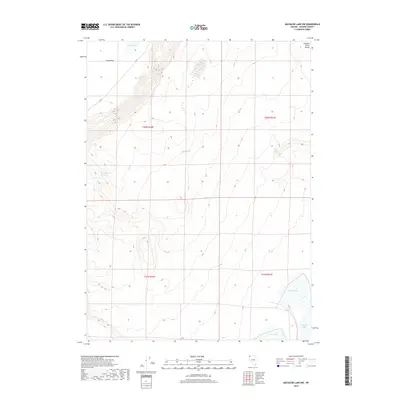
2018 Map of Massacre Lake NW
USGS Topo · Published 2018About this map
Townsend Spring and Indian Spring mark critical water points in this arid stretch of high desert terrain during the early 21st century. The landscape is defined by the elevation changes of the Painted Point Range to the east and the broad expanse of Long Valley to the west. This 2018 survey documents a region where life centers on these scattered water sources, including Sheep Camp Spring and Post Spring. In the southern portion of the quadrangle, the seasonal basins of Massacre Lake, West Lake, and Middle Lake illustrate the ephemeral hydrology of the Great Basin. Human infrastructure is minimal, represented primarily by the course of C R 34, which provides the main transit through this isolated geography.
Find a feature on this map
15 named features on this map. Tap any name to fly to it.
Don’t see what you’re looking for? This feature index may not catch every label — zoom into the map to look around manually.
Map Details
Editions of this 2018 Massacre Lake NW Map
This is the sole edition of this map. No revisions or reprints were ever made.
Other maps of this area

1889 · Long Valley
USGS Topo · 1:250,000

1954 · Vya
USGS Topo · 1:250,000

1958 · Vya
USGS Topo · 1:250,000

1962 · Vya
USGS Topo · 1:250,000

1966 · Bald Mountain
USGS Topo · 1:24,000

1966 · Massacre Lake NW
USGS Topo · 1:24,000

1966 · Vya
USGS Topo · 1:24,000

1966 · Massacre Lake
USGS Topo · 1:24,000
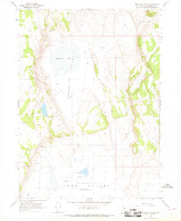
1966 · Mosquito Valley
USGS Topo · 1:24,000
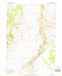
1966 · Calcutta Lake
USGS Topo · 1:24,000