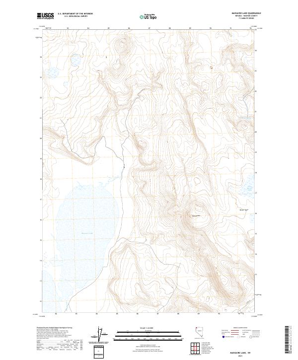
2021 Map of Massacre Lake
USGS Topo · Published 2021About this map
Massacre Lake dominates the basin of this high desert terrain in Washoe County, a landscape defined by seasonal water and volcanic plateaus. The lake, fed by the seasonal Massacre Cr, sits at the base of dramatic topographic rises, including the flat-topped Table Butte and the expansive Bitner Table. These geological formations represent the characteristic "table" geography of the northwestern Great Basin, where ancient lava flows have left elevated, level surfaces above the surrounding valley floor.
Find a feature on this map
11 named features on this map. Tap any name to fly to it.
Don’t see what you’re looking for? This feature index may not catch every label — zoom into the map to look around manually.
Map Details
Editions of this 2021 Massacre Lake Map
This is the sole edition of this map. No revisions or reprints were ever made.
Other maps of this area

1889 · Long Valley
USGS Topo · 1:250,000

1954 · Vya
USGS Topo · 1:250,000

1958 · Vya
USGS Topo · 1:250,000

1962 · Vya
USGS Topo · 1:250,000

1966 · Bald Mountain
USGS Topo · 1:24,000

1966 · Swan Lake
USGS Topo · 1:24,000

1966 · Badger Mtn NW
USGS Topo · 1:24,000

1966 · Massacre Lake NW
USGS Topo · 1:24,000

1966 · Massacre Lake
USGS Topo · 1:24,000

1966 · Nut Mountain
USGS Topo · 1:24,000