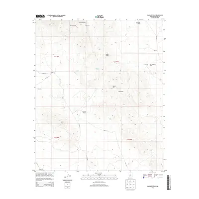
2013 Map of Massacre Peak
USGS Topo · Published 2013About this map
Massacre Peak and the high elevations of the Cookes Range dominate this corner of the Chihuahuan Desert. The landscape is defined by its arid geography and historical transit corridors, most notably the Butterfield Trl crossing through the Pony Hills. These features represent a vital link in the 19th-century westward expansion, where reliable water sources were essential for survival. Rare desert water points such as Cookes Spring, Fryingpan Spring, and Puma Spring are clearly marked, providing context for the location of the Ft Cummings Cem and the nearby Fort Cummings Draw. To the south, Fluorite Ridge rises above China Draw, while the northern terrain is broken by the steep incisions of Rattlesnake Canyon and Starvation Draw. This topography illustrates the challenging environment navigated by early travelers along the southern stagecoach routes.
Find a feature on this map
26 named features on this map. Tap any name to fly to it.
Don’t see what you’re looking for? This feature index may not catch every label — zoom into the map to look around manually.
Map Details
Editions of this 2013 Massacre Peak Map
This is the sole edition of this map. No revisions or reprints were ever made.
Other maps of this area

1899 · Deming
USGS Topo · 1:125,000

1915 · Deming
USGS Topo · 1:125,000

1955 · Las Cruces
USGS Topo · 1:250,000

1956 · Dwyer
USGS Topo · 1:62,500

1958 · Las Cruces
USGS Topo · 1:250,000

1962 · Lake Valley
USGS Topo · 1:62,500

1964 · Goat Ridge
USGS Topo · 1:24,000

1964 · Florida
USGS Topo · 1:24,000

1964 · Deming West
USGS Topo · 1:24,000

1964 · Massacre Peak
USGS Topo · 1:24,000