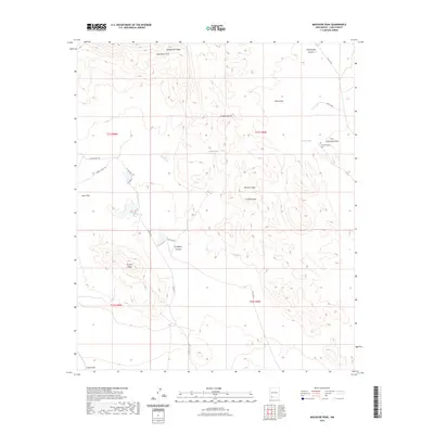
2023 Map of Massacre Peak
USGS Topo · Published 2023About this map
Fort Cummings stands as a focal point of historical interest in this arid Luna County landscape, marking a vital water source and defensive position along the western frontier. The presence of the Fort Cummings Cem nearby offers a poignant link for genealogists studying the soldiers and travelers who passed through this corridor. The terrain is defined by the sharp elevations of the Cookes Range, where Massacre Peak looms over a series of rugged canyons and draws.
Find a feature on this map
27 named features on this map. Tap any name to fly to it.
Don’t see what you’re looking for? This feature index may not catch every label — zoom into the map to look around manually.
Map Details
Editions of this 2023 Massacre Peak Map
This is the sole edition of this map. No revisions or reprints were ever made.
Other maps of this area

1899 · Deming
USGS Topo · 1:125,000

1915 · Deming
USGS Topo · 1:125,000

1955 · Las Cruces
USGS Topo · 1:250,000

1956 · Dwyer
USGS Topo · 1:62,500

1958 · Las Cruces
USGS Topo · 1:250,000

1962 · Lake Valley
USGS Topo · 1:62,500

1964 · Goat Ridge
USGS Topo · 1:24,000

1964 · Florida
USGS Topo · 1:24,000

1964 · Deming West
USGS Topo · 1:24,000

1964 · Massacre Peak
USGS Topo · 1:24,000