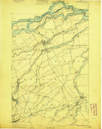
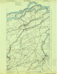
1907 Map of Massena
USGS Topo · Published 1907About this map
The St Lawrence River forms a dynamic northern border on this turn-of-the-century survey, defined by the powerful Long Sault Rapids and South Sault Rapids surrounding Barnhart Island. This era captures the industrial and transit landscape of northern St. Lawrence County before the massive mid-century power projects altered the river's flow and islands. Inland, a dense network of watercourses including the Grass River, Raquette River, and St Regis River supports numerous riverfront settlements like Raymondville and Brasher Falls. A complex rail system, including the Grand Trunk RR and the Rome Watertown and Ogdensburg Division, connects industrial hubs like Massena and Norwood. Genealogists can trace family locations through specific landings such as Richards Landing and rural stations like North Stockholm Kuapps Sta, illustrating the region's reliance on both rail and water for commerce and travel.
Find a feature on this map
57 named features on this map. Tap any name to fly to it.
Don’t see what you’re looking for? This feature index may not catch every label — zoom into the map to look around manually.
Map Details
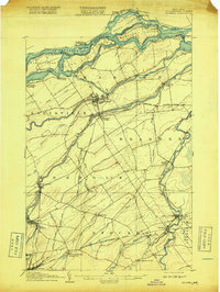
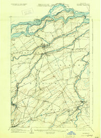
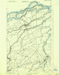
Editions of this 1907 Massena Map
6 editions found
Other maps of this area

1905 · Waddington
USGS Topo · 1:62,500

1906 · Massena
USGS Topo · 1:62,500

1907 · Massena
USGS Topo · 1:62,500

1908 · Potsdam
USGS Topo · 1:62,500

1910 · Canton
USGS Topo · 1:62,500

1911 · Canton
USGS Topo · 1:62,500

1915 · Moira
USGS Topo · 1:62,500

1917 · Moira
USGS Topo · 1:62,500

1919 · Nicholville
USGS Topo · 1:62,500

1921 · Nicholville
USGS Topo · 1:62,500