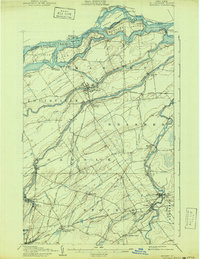
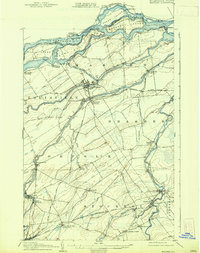
1907 Map of Massena
USGS Topo · Published 1941About this map
The St Lawrence River forms a complex international boundary on this early 20th-century survey, dominated by the turbulent Long Sault Rapids and a series of large islands like Barnhart Island and Sheek Island. On the New York shore, the industrial and transport hub of Massena is already well-established, positioned where the Grass River and Raquette River approach the larger waterway. The presence of the Cornwall Canal on the Canadian side and the emerging rail network of the Grand Trunk RR highlights the region's importance as a gateway for river commerce and power.
Find a feature on this map
59 named features on this map. Tap any name to fly to it.
Don’t see what you’re looking for? This feature index may not catch every label — zoom into the map to look around manually.
Map Details
Editions of this 1907 Massena Map
6 editions found
Other maps of this area

1905 · Waddington
USGS Topo · 1:62,500

1906 · Massena
USGS Topo · 1:62,500

1907 · Massena
USGS Topo · 1:62,500

1908 · Potsdam
USGS Topo · 1:62,500

1910 · Canton
USGS Topo · 1:62,500

1911 · Canton
USGS Topo · 1:62,500

1915 · Moira
USGS Topo · 1:62,500

1917 · Moira
USGS Topo · 1:62,500

1919 · Nicholville
USGS Topo · 1:62,500

1921 · Nicholville
USGS Topo · 1:62,500