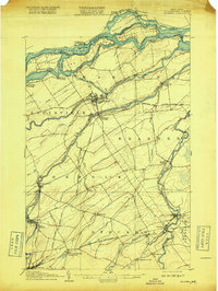
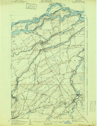
1907 Map of Massena
USGS Topo · Published 1918About this map
The St Lawrence River and its powerful Long Sault Rapids dominate this early twentieth-century landscape, shortly after the completion of the Power Canal that transformed Massena into an industrial center. The map reveals an intricate network of water and rail transport, featuring the Cornwall Canal on the Canadian shore and the crossing of Sheek Island and Barnhart Island. To the south, the Raquette River and Grass River flow toward the border, supporting a string of settlements from Raymondville down to Norwood.
Find a feature on this map
60 named features on this map. Tap any name to fly to it.
Don’t see what you’re looking for? This feature index may not catch every label — zoom into the map to look around manually.
Map Details
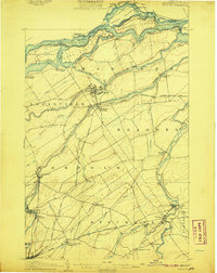
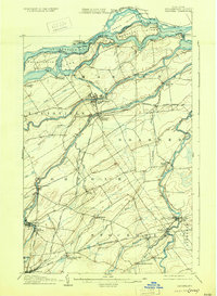
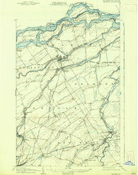
Editions of this 1907 Massena Map
6 editions found
Other maps of this area

1905 · Waddington
USGS Topo · 1:62,500

1906 · Massena
USGS Topo · 1:62,500

1907 · Massena
USGS Topo · 1:62,500

1908 · Potsdam
USGS Topo · 1:62,500

1910 · Canton
USGS Topo · 1:62,500

1911 · Canton
USGS Topo · 1:62,500

1915 · Moira
USGS Topo · 1:62,500

1917 · Moira
USGS Topo · 1:62,500

1919 · Nicholville
USGS Topo · 1:62,500

1921 · Nicholville
USGS Topo · 1:62,500