
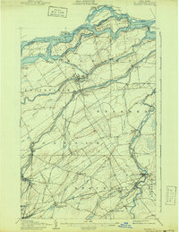
1907 Map of Massena
USGS Topo · Published 1907About this map
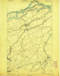
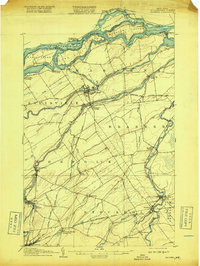
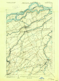
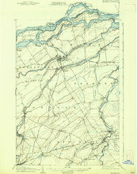
The St Lawrence River and its dramatic Long Sault Rapids define the northern boundary of this 1907 survey, which captures the region before mid-century power projects altered the shoreline. The Massena Power Canal is shown connecting the river to the Grass River, fueling early industrial growth in Massena and Massena Springs. These waterways, along with the Raquette River and St Regis River, provided the drainage and power that supported the mill and farm economy of northern St. Lawrence County.
Find a feature on this map
69 named features on this map. Tap any name to fly to it.
Don’t see what you’re looking for? This feature index may not catch every label — zoom into the map to look around manually.
Map Details
Editions of this 1907 Massena Map
6 editions found
Other maps of this area

1905 · Waddington
USGS Topo · 1:62,500

1906 · Massena
USGS Topo · 1:62,500

1908 · Potsdam
USGS Topo · 1:62,500

1910 · Canton
USGS Topo · 1:62,500

1911 · Canton
USGS Topo · 1:62,500

1915 · Moira
USGS Topo · 1:62,500

1917 · Moira
USGS Topo · 1:62,500

1919 · Nicholville
USGS Topo · 1:62,500

1921 · Nicholville
USGS Topo · 1:62,500

1942 · Chase Mills
USGS Topo · 1:24,000