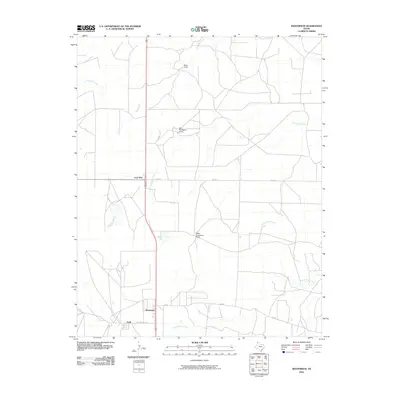
2010 Map of Masterson
USGS Topo · Published 2010About this map
Masterson and the nearby Exell settlement anchor the southern portion of this Moore County landscape, reflecting the region's historical ties to the energy and ranching industries. The road network connects industrial and agricultural sites via Helium Plant Rd and Cig Rd, while FM 1913 intersects at the junction of Four Way. This area of the Texas Panhandle is defined by a series of drainages, including North Plum Creek, South Plum Creek, and Grapevine Creek, which carve through the high plains.
Find a feature on this map
15 named features on this map. Tap any name to fly to it.
Don’t see what you’re looking for? This feature index may not catch every label — zoom into the map to look around manually.
Map Details
Editions of this 2010 Masterson Map
This is the sole edition of this map. No revisions or reprints were ever made.
Other maps of this area

1936 · Fourways
USGS Topo · 1:62,500

1953 · Marsh
USGS Topo · 1:24,000

1953 · Masterson
USGS Topo · 1:24,000

1953 · McDowell Creek
USGS Topo · 1:24,000

1953 · Spencer Draw
USGS Topo · 1:24,000

1954 · Tucumcari
USGS Topo · 1:250,000

1954 · Amarillo
USGS Topo · 1:250,000

1958 · Amarillo
USGS Topo · 1:250,000

1958 · Tucumcari
USGS Topo · 1:250,000

1963 · Stallwitz Lake
USGS Topo · 1:24,000