
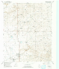
1953 Map of Masterson
USGS Topo · Published 1954About this map
The Masterson and Exell industrial nodes define this landscape in the early 1950s, serving as vital hubs for the region's energy infrastructure. The southern portion of the map is dense with specialized facilities, including the Bivins Compressor Station, Absorber Towers, and a Dust Remover Tower, all linked by an extensive network of Pipe Lines and the Panhandle and Santa Fe railroad. This concentration of gas processing technology highlights the area's mid-century role in the Texas Panhandle's natural gas boom.
Find a feature on this map
23 named features on this map. Tap any name to fly to it.
Don’t see what you’re looking for? This feature index may not catch every label — zoom into the map to look around manually.
Map Details
Editions of this 1953 Masterson Map
2 editions found
Other maps of this area

1936 · Fourways
USGS Topo · 1:62,500

1953 · Marsh
USGS Topo · 1:24,000

1953 · McDowell Creek
USGS Topo · 1:24,000

1953 · Spencer Draw
USGS Topo · 1:24,000

1954 · Tucumcari
USGS Topo · 1:250,000

1954 · Amarillo
USGS Topo · 1:250,000

1958 · Amarillo
USGS Topo · 1:250,000

1958 · Tucumcari
USGS Topo · 1:250,000

1963 · Stallwitz Lake
USGS Topo · 1:24,000

1965 · Dumas South
USGS Topo · 1:24,000