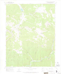
1967 Map of Matchless Mountain
USGS Topo · Published 1971About this map
Gunnison National Forest dominates this mid-century topographic record, revealing a high-elevation landscape defined by mineral extraction and outdoor recreation. The western reaches of the quadrangle are marked by historical mining activity, notably the Doctor Mine near Doctor Gulch and several prospect pits along Spring Gulch. These sites sit amidst a complex network of drainages like Deadman Gulch and Salsbury Gulch that feed into the larger river systems.
Find a feature on this map
40 named features on this map. Tap any name to fly to it.
Don’t see what you’re looking for? This feature index may not catch every label — zoom into the map to look around manually.
Map Details
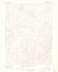
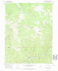
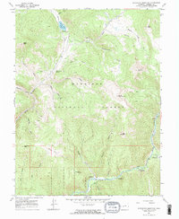
Editions of this 1967 Matchless Mountain Map
4 editions found
Other maps of this area

1888 · Crested Butte
USGS Topo · 1:62,500

1889 · Crested Butte
USGS Topo · 1:62,500

1893 · Crested Butte
USGS Topo · 1:62,500

1934 · Taylor Park
USGS Topo · 1:62,500

1937 · Taylor Park
USGS Topo · 1:62,500

1941 · Pitkin
USGS Topo · 1:62,500

1945 · Pitkin
USGS Topo · 1:62,500

1956 · Montrose
USGS Topo · 1:250,000

1959 · Montrose
USGS Topo · 1:250,000

1960 · Montrose
USGS Topo · 1:250,000