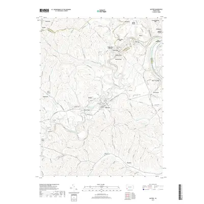
2019 Map of Mather
USGS Topo · Published 2019About this map
Jefferson sits at the heart of this landscape where the Greene and Fayette county lines meet along the Monongahela River. This modern survey reveals a dense network of country roads and spiritual landmarks, particularly concentrated around the village of Jefferson, which is flanked by the Jefferson Baptist Cem and the Old Jefferson Cem. The terrain is defined by the winding course of South Fork Tenmile Creek and the steep elevation of Clarksville Hill. Near the center of the map, the Browns Run Reservoir serves as a notable hydrologic feature, while to the west, the Greene County Airport and Wayne Tunnel mark significant infrastructure development. The settlement pattern remains largely rural, with established hamlets like Mather, Lippincott, and Khedive connected by long-standing routes such as Jefferson Rd and Ridge Rd.
Find a feature on this map
149 named features on this map. Tap any name to fly to it.
Don’t see what you’re looking for? This feature index may not catch every label — zoom into the map to look around manually.
Map Details
Editions of this 2019 Mather Map
This is the sole edition of this map. No revisions or reprints were ever made.
Other maps of this area

1900 · Masontown
USGS Topo · 1:62,500

1901 · Amity
USGS Topo · 1:62,500

1901 · Waynesburg
USGS Topo · 1:62,500

1902 · Brownsville
USGS Topo · 1:62,500

1903 · Masontown
USGS Topo · 1:62,500

1904 · Amity
USGS Topo · 1:62,500

1904 · Waynesburg
USGS Topo · 1:62,500

1906 · Brownsville
USGS Topo · 1:62,500

1931 · Brownsville
USGS Topo · 1:62,500

1931 · Masontown
USGS Topo · 1:62,500