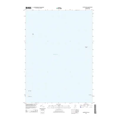
2014 Map of Matinicus OE N
USGS Topo · Published 2014About this map
Atlantic Ocean waters dominate this maritime survey, which documents the isolated outcroppings and navigational hazards off the coast of Maine. The map focuses on a series of granite formations and small landmasses that rise from the sea, including the descriptively named No Mans Land and the narrow profile of Seal Island. These features represent significant points for coastal navigation and local marine history, identifying specific undersea and near-surface threats to mariners.
Find a feature on this map
6 named features on this map. Tap any name to fly to it.
Don’t see what you’re looking for? This feature index may not catch every label — zoom into the map to look around manually.
Map Details
Editions of this 2014 Matinicus OE N Map
This is the sole edition of this map. No revisions or reprints were ever made.
Other maps of this area

1904 · Deer Isle
USGS Topo · 1:62,500

1904 · Vinalhaven
USGS Topo · 1:62,500

1905 · Penobscot Bay
USGS Topo · 1:125,000

1906 · Matinicus
USGS Topo · 1:62,500

1941 · Vinalhaven
USGS Topo · 1:62,500

1942 · Deer Isle
USGS Topo · 1:62,500

1944 · Vinalhaven
USGS Topo · 1:62,500

1944 · Deer Isle
USGS Topo · 1:62,500

1948 · Bangor
USGS Topo · 1:250,000

1948 · Bath
USGS Topo · 1:250,000