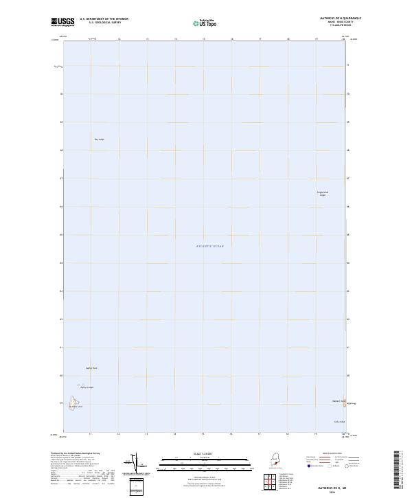
2024 Map of Matinicus OE N
USGS Topo · Published 2024About this map
The Seal Island National Wildlife Refuge anchors the southeastern corner of this maritime survey in the Atlantic Ocean off the coast of Knox County. This portion of the Gulf of Maine is defined by several prominent hazards and landmarks critical for navigation, including Western Head and the submerged hazards of Gully Ledge. Further out to sea, the map identifies isolated features such as No Mans Land and Zephyr Rock. The naming of features like Snippershan Ledge and Bay Ledge reflects the local seafaring nomenclature of the Maine coastline, where every outcropping and shoal is distinctly identified for the safety of local fisheries and maritime traffic.
Find a feature on this map
9 named features on this map. Tap any name to fly to it.
Don’t see what you’re looking for? This feature index may not catch every label — zoom into the map to look around manually.
Map Details
Editions of this 2024 Matinicus OE N Map
This is the sole edition of this map. No revisions or reprints were ever made.
Other maps of this area

1904 · Deer Isle
USGS Topo · 1:62,500

1904 · Vinalhaven
USGS Topo · 1:62,500

1905 · Penobscot Bay
USGS Topo · 1:125,000

1906 · Matinicus
USGS Topo · 1:62,500

1941 · Vinalhaven
USGS Topo · 1:62,500

1942 · Deer Isle
USGS Topo · 1:62,500

1944 · Vinalhaven
USGS Topo · 1:62,500

1944 · Deer Isle
USGS Topo · 1:62,500

1948 · Bangor
USGS Topo · 1:250,000

1948 · Bath
USGS Topo · 1:250,000