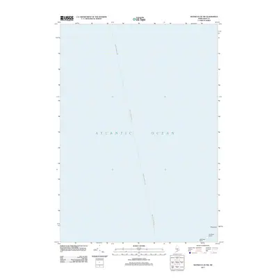
2011 Map of Matinicus OE NW
USGS Topo · Published 2011About this map
The Atlantic Ocean dominates this coastal survey, where the rugged maritime boundary between the mainland and the outer islands is clearly defined. The southeastern corner of the map captures the small outcroppings of Two Bush Island and the neighboring rocky feature known as Whaleback. These landmarks, along with Northeast Point, serve as critical navigational aids for the transit route between Rockland and Matinicus Island. This specific corridor highlights the isolation of the Penobscot Bay outposts in the early 21st century, focusing on the essential shipping lanes and natural coastal hazards that have shaped Maine's seafaring history.
Find a feature on this map
5 named features on this map. Tap any name to fly to it.
Don’t see what you’re looking for? This feature index may not catch every label — zoom into the map to look around manually.
Map Details
Editions of this 2011 Matinicus OE NW Map
This is the sole edition of this map. No revisions or reprints were ever made.
Other maps of this area

1904 · Vinalhaven
USGS Topo · 1:62,500

1904 · Tenants Harbor
USGS Topo · 1:62,500

1904 · Rockland
USGS Topo · 1:62,500

1905 · Penobscot Bay
USGS Topo · 1:125,000

1906 · Matinicus
USGS Topo · 1:62,500

1906 · Tennant Harbor
USGS Topo · 1:62,500

1906 · Rockland
USGS Topo · 1:62,500

1941 · Rockland
USGS Topo · 1:62,500

1941 · Vinalhaven
USGS Topo · 1:62,500

1944 · Vinalhaven
USGS Topo · 1:62,500