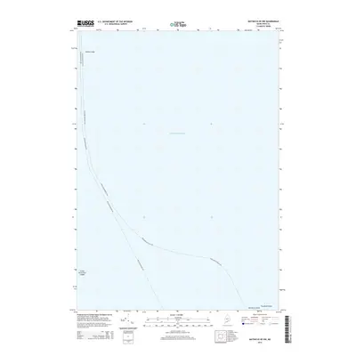
2014 Map of Matinicus OE NW
USGS Topo · Published 2014About this map
The vast reaches of the Atlantic Ocean define this maritime landscape off the coast of Maine, where seafaring routes connect the mainland to remote outposts. The map documents the critical transit corridors of the Rockland-Matinicus Fry and Rockland-Ragged Fry, tracing the essential ferry paths that sustain island life. Navigation around these waters requires careful attention to maritime hazards such as Junken Ledge in the north and the Green Island Seal Ledges to the southwest. While much of the area is open water, the southern margin captures the northern tip of Matinicus Island and the small outcrop of Two Bush Island, providing a detailed view of these isolated landforms as they appeared in 2014.
Find a feature on this map
7 named features on this map. Tap any name to fly to it.
Don’t see what you’re looking for? This feature index may not catch every label — zoom into the map to look around manually.
Map Details
Editions of this 2014 Matinicus OE NW Map
This is the sole edition of this map. No revisions or reprints were ever made.
Other maps of this area

1904 · Vinalhaven
USGS Topo · 1:62,500

1904 · Tenants Harbor
USGS Topo · 1:62,500

1904 · Rockland
USGS Topo · 1:62,500

1905 · Penobscot Bay
USGS Topo · 1:125,000

1906 · Matinicus
USGS Topo · 1:62,500

1906 · Tennant Harbor
USGS Topo · 1:62,500

1906 · Rockland
USGS Topo · 1:62,500

1941 · Rockland
USGS Topo · 1:62,500

1941 · Vinalhaven
USGS Topo · 1:62,500

1944 · Vinalhaven
USGS Topo · 1:62,500