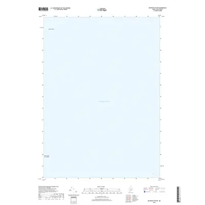
2018 Map of Matinicus OE NW
USGS Topo · Published 2018About this map
Atlantic Ocean waters dominate this Knox County coastal survey, which focuses on the maritime hazards and marine geography southeast of Vinalhaven. The map records several treacherous underwater features, most notably the Junken Ledge in the northwest and the Green Island Seal Ledges in the southwest. These names reflect the local vernacular and the navigational challenges faced by mariners in these Maine waters. While largely an offshore study, the mapping of these ledges provides essential data for understanding the submerged landscape and coastal safety in the late twenty-first century.
Find a feature on this map
3 named features on this map. Tap any name to fly to it.
Don’t see what you’re looking for? This feature index may not catch every label — zoom into the map to look around manually.
Map Details
Editions of this 2018 Matinicus OE NW Map
This is the sole edition of this map. No revisions or reprints were ever made.
Other maps of this area

1904 · Vinalhaven
USGS Topo · 1:62,500

1904 · Tenants Harbor
USGS Topo · 1:62,500

1904 · Rockland
USGS Topo · 1:62,500

1905 · Penobscot Bay
USGS Topo · 1:125,000

1906 · Matinicus
USGS Topo · 1:62,500

1906 · Tennant Harbor
USGS Topo · 1:62,500

1906 · Rockland
USGS Topo · 1:62,500

1941 · Rockland
USGS Topo · 1:62,500

1941 · Vinalhaven
USGS Topo · 1:62,500

1944 · Vinalhaven
USGS Topo · 1:62,500