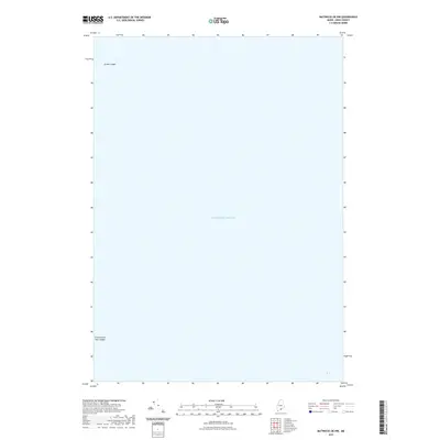
2021 Map of Matinicus OE NW
USGS Topo · Published 2021About this map
The Atlantic Ocean dominates this maritime survey off the coast of Knox County, Maine. This specific area of the outer Maine coastline is defined by underwater and semi-exposed navigational hazards. To the northwest, Junken Ledge marks a significant subsurface feature for mariners navigating these waters. In the southwestern corner, the Green Island Seal Ledges represent a collection of rock formations that are critical landmarks for both local wildlife and vessel pilots. The map highlights the sparse, nautical character of the region where the sea meets these isolated rocky outcroppings, providing essential data for those studying the coastal geography and hydrography of the Gulf of Maine in the early 21st century.
Find a feature on this map
3 named features on this map. Tap any name to fly to it.
Don’t see what you’re looking for? This feature index may not catch every label — zoom into the map to look around manually.
Map Details
Editions of this 2021 Matinicus OE NW Map
This is the sole edition of this map. No revisions or reprints were ever made.
Other maps of this area

1904 · Vinalhaven
USGS Topo · 1:62,500

1904 · Tenants Harbor
USGS Topo · 1:62,500

1904 · Rockland
USGS Topo · 1:62,500

1905 · Penobscot Bay
USGS Topo · 1:125,000

1906 · Matinicus
USGS Topo · 1:62,500

1906 · Tennant Harbor
USGS Topo · 1:62,500

1906 · Rockland
USGS Topo · 1:62,500

1941 · Rockland
USGS Topo · 1:62,500

1941 · Vinalhaven
USGS Topo · 1:62,500

1944 · Vinalhaven
USGS Topo · 1:62,500