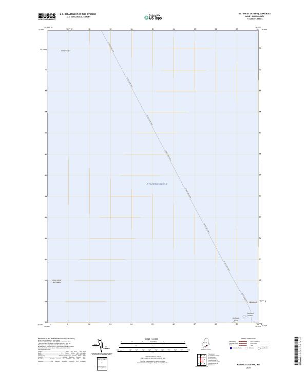
2024 Map of Matinicus OE NW
USGS Topo · Published 2024About this map
The Everett Libby Ferry route bisects the vast maritime landscape of the Atlantic Ocean in this coastal survey of Knox County. This navigation corridor serves as a primary link between mainland Maine and its outlying islands, cutting a straight path through open water. Along the southern edge of the sheet, the rocky outposts of the Petit Manan National Wildlife Refuge emerge, including Two Bush Island and the landform at Northeast Point. These small islands and hazard markers like Whaleback and Seal Ledges define the treacherous approach for local mariners. The map highlights the isolated nature of these mid-coast features, where named maritime hazards such as Junken Ledge and Green Island provide essential orientation in an environment dominated by the sea.
Find a feature on this map
9 named features on this map. Tap any name to fly to it.
Don’t see what you’re looking for? This feature index may not catch every label — zoom into the map to look around manually.
Map Details
Editions of this 2024 Matinicus OE NW Map
This is the sole edition of this map. No revisions or reprints were ever made.
Other maps of this area

1904 · Vinalhaven
USGS Topo · 1:62,500

1904 · Tenants Harbor
USGS Topo · 1:62,500

1904 · Rockland
USGS Topo · 1:62,500

1905 · Penobscot Bay
USGS Topo · 1:125,000

1906 · Matinicus
USGS Topo · 1:62,500

1906 · Tennant Harbor
USGS Topo · 1:62,500

1906 · Rockland
USGS Topo · 1:62,500

1941 · Rockland
USGS Topo · 1:62,500

1941 · Vinalhaven
USGS Topo · 1:62,500

1944 · Vinalhaven
USGS Topo · 1:62,500