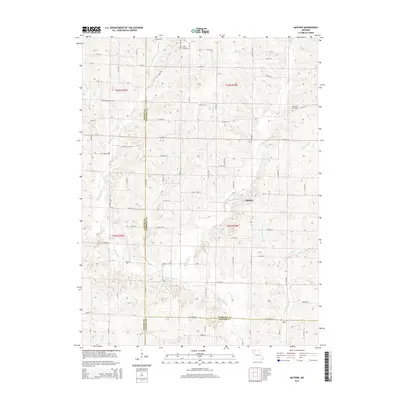
2015 Map of Matkins
USGS Topo · Published 2015About this map
Matkins serves as the central settlement in this rural landscape near the intersection of Harrison, Gentry, and Daviess counties. The area is defined by a dense network of tributaries including Sampson Cr, White Oak Cr, and Little Sampson Cr, which create a complex drainage pattern across the township. For those tracing local heritage, White Oak Cemetery and Foster Cemetery are key landmarks situated among the agricultural fields and rural routes. The map documents an extensive system of secondary roads and trails, such as Crab Orchard Trl and Jacks Branch Trl, which connect the scattered homesteads. This 2015 survey illustrates how the traditional land divisions of Northwest Missouri remain largely intact, with property boundaries and local transit still dictated by the winding paths of creeks like Wolf Den Br and Ward Br.
Find a feature on this map
47 named features on this map. Tap any name to fly to it.
Don’t see what you’re looking for? This feature index may not catch every label — zoom into the map to look around manually.
Map Details
Editions of this 2015 Matkins Map
This is the sole edition of this map. No revisions or reprints were ever made.
Other maps of this area

1925 · Pattonsburg
USGS Topo · 1:62,500

1925 · Darlington
USGS Topo · 1:62,500

1942 · Grant City
USGS Topo · 1:62,500

1943 · Grant City
USGS Topo · 1:62,500

1944 · Pattonsburg
USGS Topo · 1:62,500

1946 · Pattonsburg
USGS Topo · 1:48,000

1948 · Bethany
USGS Topo · 1:62,500

1948 · Pattonsburg
USGS Topo · 1:62,500

1950 · Darlington
USGS Topo · 1:62,500

1955 · Nebraska City
USGS Topo · 1:250,000