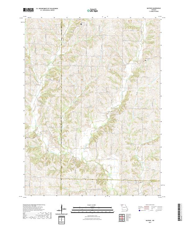
2021 Map of Matkins
USGS Topo · Published 2021About this map
The borderlands of Harrison, Gentry, and Daviess Counties in Northwest Missouri are defined by a complex network of tributaries cutting through the prairie. This 2021 landscape is anchored by rural burial grounds such as White Oak Cem, Foster Cem, and Wright Cem, which provide essential touchpoints for genealogists researching the area's early families. The terrain is deeply etched by Sampson Cr and its various feeders, including Little Sampson Cr and Wolf Den Br, creating a pattern of ridges and hollows that dictates the modern road grid.
Find a feature on this map
45 named features on this map. Tap any name to fly to it.
Don’t see what you’re looking for? This feature index may not catch every label — zoom into the map to look around manually.
Map Details
Editions of this 2021 Matkins Map
This is the sole edition of this map. No revisions or reprints were ever made.
Other maps of this area

1925 · Pattonsburg
USGS Topo · 1:62,500

1925 · Darlington
USGS Topo · 1:62,500

1942 · Grant City
USGS Topo · 1:62,500

1943 · Grant City
USGS Topo · 1:62,500

1944 · Pattonsburg
USGS Topo · 1:62,500

1946 · Pattonsburg
USGS Topo · 1:48,000

1948 · Bethany
USGS Topo · 1:62,500

1948 · Pattonsburg
USGS Topo · 1:62,500

1950 · Darlington
USGS Topo · 1:62,500

1955 · Nebraska City
USGS Topo · 1:250,000