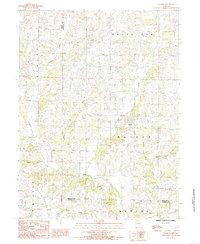
1984 Map of Matkins
USGS Topo · Published 1985About this map
Matkins serves as the central settlement in this rural landscape near the meeting point of several townships in northern Missouri. The terrain is defined by a dense network of waterways, most notably Sampson Creek and White Oak Creek, which drain the undulating agricultural land. The map reveals the intricate drainage patterns of the region, where numerous named tributaries like Wolf Den Branch, Jacks Branch, and Little Oak Creek carve through the countryside.
Find a feature on this map
19 named features on this map. Tap any name to fly to it.
Don’t see what you’re looking for? This feature index may not catch every label — zoom into the map to look around manually.
Map Details
Editions of this 1984 Matkins Map
This is the sole edition of this map. No revisions or reprints were ever made.
Other maps of this area

1925 · Pattonsburg
USGS Topo · 1:62,500

1925 · Darlington
USGS Topo · 1:62,500

1942 · Grant City
USGS Topo · 1:62,500

1943 · Grant City
USGS Topo · 1:62,500

1944 · Pattonsburg
USGS Topo · 1:62,500

1946 · Pattonsburg
USGS Topo · 1:48,000

1948 · Bethany
USGS Topo · 1:62,500

1948 · Pattonsburg
USGS Topo · 1:62,500

1950 · Darlington
USGS Topo · 1:62,500

1955 · Nebraska City
USGS Topo · 1:250,000