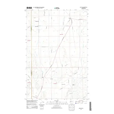
2014 Map of Matlock
USGS Topo · Published 2014About this map
Matlock and the surrounding timber and prairie lands of Mason County are documented here during the early 21st century. The landscape is defined by the convergence of several major waterways, including the East Fork Satsop River and the Middle Fork Satsop River, which support the Simpson State Salmon Hatchery. The road network, featuring names like W Matlock Brady Rd and W Shelton Matlock Rd, connects small settlements such as Deckerville and the curiously named Frisken Wye. Broad open areas like Scott Prairie and Carstairs Prairie break up the forested terrain, while the Turnow Cem in the southern portion of the quadrangle provides a specific point of interest for those researching local family histories. The boundary between Grays Harbor Co and Mason Co runs through the western edge of the map, illustrating the administrative divisions of this river-carved region.
Find a feature on this map
52 named features on this map. Tap any name to fly to it.
Don’t see what you’re looking for? This feature index may not catch every label — zoom into the map to look around manually.
Map Details
Editions of this 2014 Matlock Map
This is the sole edition of this map. No revisions or reprints were ever made.
Other maps of this area

1921 · Satsop
USGS Topo · 1:62,500

1941 · Mobray
USGS Topo · 1:62,500

1943 · Nahwatzel Lake
USGS Topo · 1:62,500

1943 · Mobray
USGS Topo · 1:62,500

1953 · Mt Tebo
USGS Topo · 1:62,500

1953 · Elma
USGS Topo · 1:62,500

1955 · Wynoochee Valley
USGS Topo · 1:62,500

1955 · Grisdale
USGS Topo · 1:62,500

1958 · Seattle
USGS Topo · 1:250,000

1962 · Seattle
USGS Topo · 1:250,000