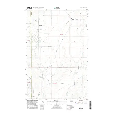
2017 Map of Matlock
USGS Topo · Published 2017About this map
Deckerville and the neighboring community of Matlock anchor this landscape along the border of Mason and Grays Harbor counties. The area is defined by the convergence of the Middle Fork Satsop River and the East Fork Satsop River, which carve through a mix of low-lying wetlands and open spaces. To the west, the Deckerville Swamp provides a contrast to the flatter expanse of Carstairs Prairie in the south, reflecting the varied drainage patterns of Decker Cr and Dry Bed Cr.
Find a feature on this map
52 named features on this map. Tap any name to fly to it.
Don’t see what you’re looking for? This feature index may not catch every label — zoom into the map to look around manually.
Map Details
Editions of this 2017 Matlock Map
This is the sole edition of this map. No revisions or reprints were ever made.
Other maps of this area

1921 · Satsop
USGS Topo · 1:62,500

1941 · Mobray
USGS Topo · 1:62,500

1943 · Nahwatzel Lake
USGS Topo · 1:62,500

1943 · Mobray
USGS Topo · 1:62,500

1953 · Mt Tebo
USGS Topo · 1:62,500

1953 · Elma
USGS Topo · 1:62,500

1955 · Wynoochee Valley
USGS Topo · 1:62,500

1955 · Grisdale
USGS Topo · 1:62,500

1958 · Seattle
USGS Topo · 1:250,000

1962 · Seattle
USGS Topo · 1:250,000