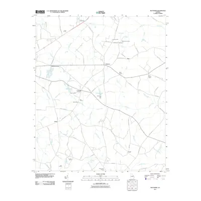
2011 Map of Matthews
USGS Topo · Published 2011About this map
Matthews serves as a central hub in this section of Jefferson County, where the rural landscape is defined by its deep network of family-named cemeteries and quiet water bodies. The terrain is crisscrossed by numerous tributaries like Brushy Creek and Johnson Branch, which feed into local landmarks such as Pilcher Lake and Pennington Lake. These small impoundments, along with their respective structures like the Pilcher Lake Dam, speak to the managed agricultural hydrology of the region in the early 21st century.
Find a feature on this map
75 named features on this map. Tap any name to fly to it.
Don’t see what you’re looking for? This feature index may not catch every label — zoom into the map to look around manually.
Map Details
Editions of this 2011 Matthews Map
This is the sole edition of this map. No revisions or reprints were ever made.
Other maps of this area

1919 · Gough
USGS Topo · 1:62,500

1920 · Stapleton
USGS Topo · 1:62,500

1922 · Harlem
USGS Topo · 1:62,500

1922 · Hephzibah
USGS Topo · 1:62,500

1948 · Hephzibah
USGS Topo · 1:62,500

1948 · Harlem
USGS Topo · 1:62,500

1948 · Stapleton
USGS Topo · 1:62,500

1948 · Gough
USGS Topo · 1:62,500

1948 · Blythe
USGS Topo · 1:24,000

1948 · Louisville
USGS Topo · 1:24,000