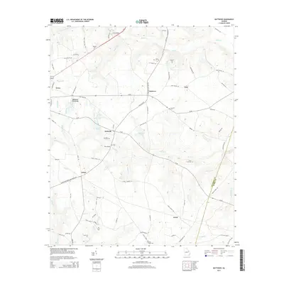
2014 Map of Matthews
USGS Topo · Published 2014About this map
The agrarian landscape of Jefferson and Burke Counties is defined by the intersection of numerous rural settlements and family-named landmarks. The village of Matthews serves as a central point in this network, surrounded by smaller hamlets such as Stellaville, Noah, and Zebina. Genealogy is deeply etched into the terrain through various family and church burial grounds, including Beasley Cem, Ways Grove Cem, and Mt Moriah Cem. The drainage patterns of Brushy Cr and Reedy Cr have long influenced local land use, while crossings like Littles Bridge and Ways Bridge indicate historical transit points over these waterways. The map illustrates a community established around small-scale water features like Pennington Lake and Pilcher Lake, reflecting the persistent agricultural character of this portion of eastern Georgia.
Find a feature on this map
83 named features on this map. Tap any name to fly to it.
Don’t see what you’re looking for? This feature index may not catch every label — zoom into the map to look around manually.
Map Details
Editions of this 2014 Matthews Map
This is the sole edition of this map. No revisions or reprints were ever made.
Other maps of this area

1919 · Gough
USGS Topo · 1:62,500

1920 · Stapleton
USGS Topo · 1:62,500

1922 · Harlem
USGS Topo · 1:62,500

1922 · Hephzibah
USGS Topo · 1:62,500

1948 · Hephzibah
USGS Topo · 1:62,500

1948 · Harlem
USGS Topo · 1:62,500

1948 · Stapleton
USGS Topo · 1:62,500

1948 · Gough
USGS Topo · 1:62,500

1948 · Blythe
USGS Topo · 1:24,000

1948 · Louisville
USGS Topo · 1:24,000