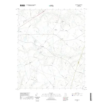
2020 Map of Matthews
USGS Topo · Published 2020About this map
Stellaville and the surrounding rural landscapes of Jefferson County are meticulously detailed in this recent topographic survey. The area is defined by a dense network of country roads, such as Old Quaker Rd and Campground Rd, which connect small settlements including Zebina, Matthews, and Atwell. Genealogists will find significant value in the documentation of numerous family and church burial sites, ranging from Beasley Cem in the north to Mosley Chapel Cem in the south. The terrain is marked by a complex drainage system where Brushy Cr and its tributaries like Bull Nose Br and Johnson Br move through the coastal plain. Notable landmarks like Littles Bridge and Ways Bridge indicate historical crossing points over the various creeks, while the presence of Pennington Lake and Gun Pond highlight the local water management within this agricultural region.
Find a feature on this map
82 named features on this map. Tap any name to fly to it.
Don’t see what you’re looking for? This feature index may not catch every label — zoom into the map to look around manually.
Map Details
Editions of this 2020 Matthews Map
This is the sole edition of this map. No revisions or reprints were ever made.
Other maps of this area

1919 · Gough
USGS Topo · 1:62,500

1920 · Stapleton
USGS Topo · 1:62,500

1922 · Harlem
USGS Topo · 1:62,500

1922 · Hephzibah
USGS Topo · 1:62,500

1948 · Hephzibah
USGS Topo · 1:62,500

1948 · Harlem
USGS Topo · 1:62,500

1948 · Stapleton
USGS Topo · 1:62,500

1948 · Gough
USGS Topo · 1:62,500

1948 · Blythe
USGS Topo · 1:24,000

1948 · Louisville
USGS Topo · 1:24,000