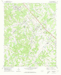
1971 Map of Matthews
USGS Topo · Published 1973About this map
The Seaboard Coast Line railroad dictates the development of this North Carolina landscape, anchoring the string of growing settlements from Matthews down through Stallings, Indian Trail, and Stouts. In the early 1970s, this area reflects a rural society in transition, where numerous country sanctuaries like Hartis Grove Ch, Antioch Ch, and Siler Ch still serve as the primary community focal points for the dispersed farmsteads of Mecklenburg Co and Union Co. The creek system—including the headwaters of Twelvemile Creek and Sixmile Creek—patterns the terrain, while the naming of Davis Mine Creek hints at the region's earlier extractive history. Emerging suburbanization is evident in the presence of Sun Valley High Sch and several unnamed residential developments, yet much of the quadrangle remains dominated by small family cemeteries and agricultural land.
Find a feature on this map
40 named features on this map. Tap any name to fly to it.
Don’t see what you’re looking for? This feature index may not catch every label — zoom into the map to look around manually.
Map Details
Editions of this 1971 Matthews Map
3 editions found
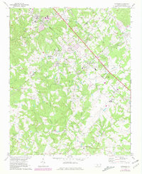
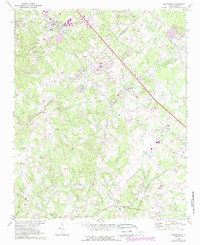
Other maps of this area

1905 · Charlotte
USGS Topo · 1:48,000

1907 · Charlotte
USGS Topo · 1:62,500

1941 · Charlotte
USGS Topo · 1:125,000

1941 · Spartanburg
USGS Topo · 1:250,000

1942 · Charlotte
USGS Topo · 1:125,000

1948 · Charlotte East
USGS Topo · 1:24,000

1949 · Charlotte East
USGS Topo · 1:24,000

1949 · Wilgrove
USGS Topo · 1:24,000

1949 · Midland
USGS Topo · 1:24,000

1953 · Spartanburg
USGS Topo · 1:250,000