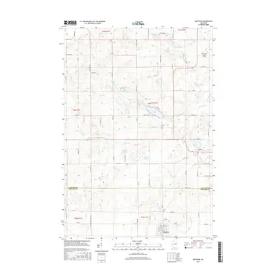
2015 Map of Mattoon
USGS Topo · Published 2015About this map
Mattoon and Phlox anchor this landscape along the border of Langlade and Shawano Counties, where the glacial geography has created a dense network of kettle lakes and meandering watercourses. The drainage of the W Br Red River and Mattoon Cr defines the southern half of the quadrangle, supporting small-scale agriculture and woodlot management. Notable water bodies such as Moose Lake and Phlox Lake appear alongside smaller, tucked-away features like Moose Springs and Maxwell Spring.
Find a feature on this map
87 named features on this map. Tap any name to fly to it.
Don’t see what you’re looking for? This feature index may not catch every label — zoom into the map to look around manually.
Map Details
Editions of this 2015 Mattoon Map
This is the sole edition of this map. No revisions or reprints were ever made.
Other maps of this area

1952 · Antigo
USGS Topo · 1:48,000

1952 · White Lake
USGS Topo · 1:48,000

1954 · Wittenberg
USGS Topo · 1:48,000

1954 · Gresham
USGS Topo · 1:48,000

1954 · Iron Mountain
USGS Topo · 1:250,000

1955 · Green Bay
USGS Topo · 1:250,000

1959 · Iron Mountain
USGS Topo · 1:250,000

1964 · Wittenberg
USGS Topo · 1:62,500

1964 · Gresham
USGS Topo · 1:62,500
1973 · Antigo
USGS Topo · 1:24,000