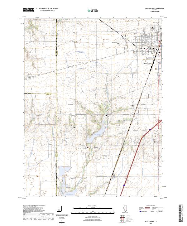
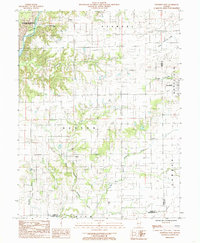
2024 Map of Mattoon West
USGS Topo · Published 2024About this map
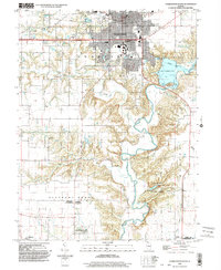
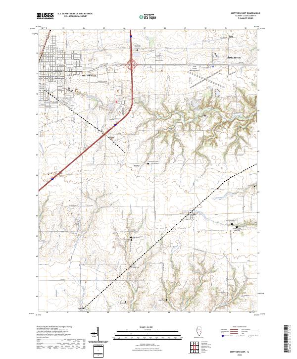
Mattoon and its western outskirts anchor this landscape, where the urban grid of the city's residential streets meets the agricultural expanses of Coles County. The area is defined by the headwaters of the Little Wabash River and the significant reservoir of Lake Paradise, which serves as a central geographic feature alongside the northern tip of Lake Mattoon. The map reveals a high density of historical burial grounds, including the large Dodge Grove Cem and Calvary Cem in the northeast, as well as several smaller rural plots like Campground Cem and Zion Hill Cem that reflect the region's early settlement patterns.
Find a feature on this map
56 named features on this map. Tap any name to fly to it.
Don’t see what you’re looking for? This feature index may not catch every label — zoom into the map to look around manually.
Map Details
Editions of this 2024 Mattoon West Map
This is the sole edition of this map. No revisions or reprints were ever made.
Historical Maps of Mattoon Through Time
18 maps found
1982 Charleston North
Coles County, IL
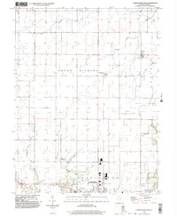
1983 Cooks Mills
Coles County, IL
1984 Charleston South
Coles County, IL
1984 Mattoon East
Coles County, IL
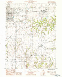
1984 Mattoon West
Coles County, IL
1984 Westfield West
Coles County, IL
1998 Charleston North
Coles County, IL
1998 Charleston South
Coles County, IL
1998 Cooks Mills
Coles County, IL
1998 Mattoon East
Coles County, IL
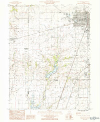
1998 Mattoon West
Coles County, IL
1998 Westfield West
Coles County, IL
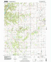
2024 Charleston North
Coles County, IL
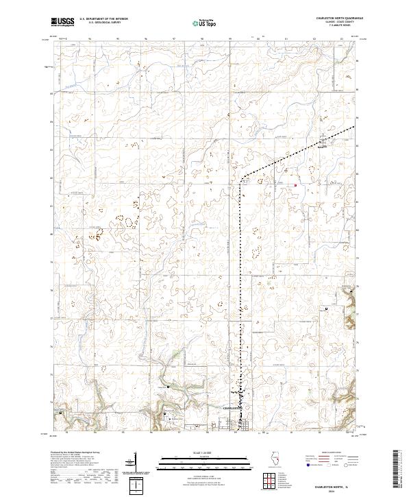
2024 Charleston South
Coles County, IL
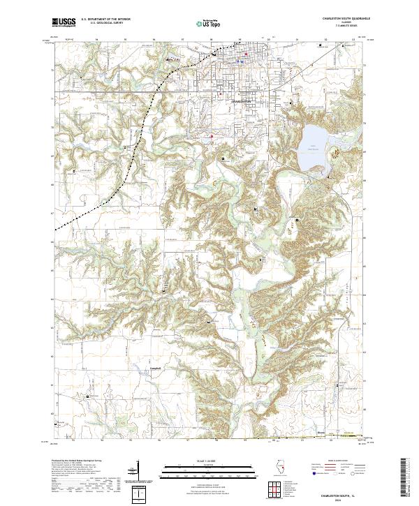
2024 Cooks Mills
Coles County, IL
2024 Mattoon East
Coles County, IL
2024 Mattoon West
Coles County, IL
2024 Westfield West
Coles County, IL