Loading...
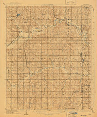
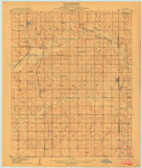
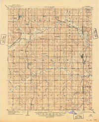
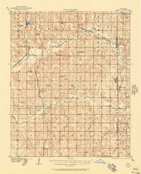
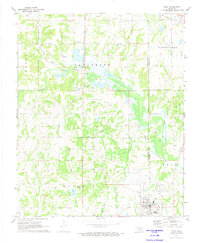
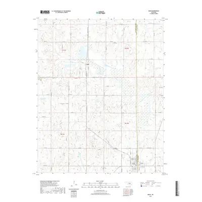
Loading map...1908 Map of Maud
USGS Topo · Published 1941About this map
Maud sits at the center of a complex network of early twentieth-century rail lines and settlements along the Pottawatomie Co Seminole Co border. Surveyed just prior to Oklahoma's statehood by the Territorial Survey Commission, the landscape is defined by the convergence of major carriers including the Atchison Topeka and Santa Fe and the Missouri Kansas and Texas. Small rural hubs like Romulus, Pearson, and St Louis anchor the agricultural and transport economy of the era.
Find a feature on this map
55 named features on this map. Tap any name to fly to it.
Don’t see what you’re looking for? This feature index may not catch every label — zoom into the map to look around manually.
Map Details
Date Portrayed1908
Date Published1941
PublisherU.S. Geological Survey
Map TypeTopographic
Scale1:62,500
Physical Dimensions16.5 x 19.8 inches
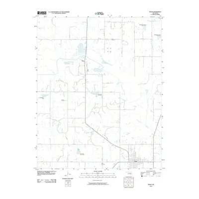
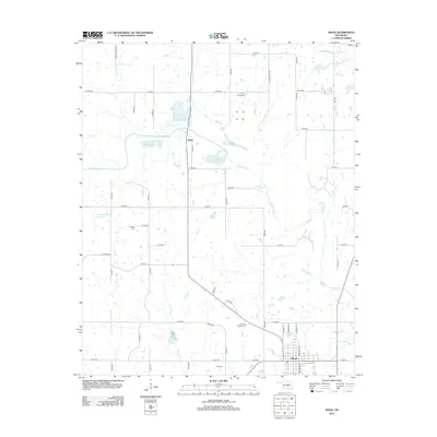
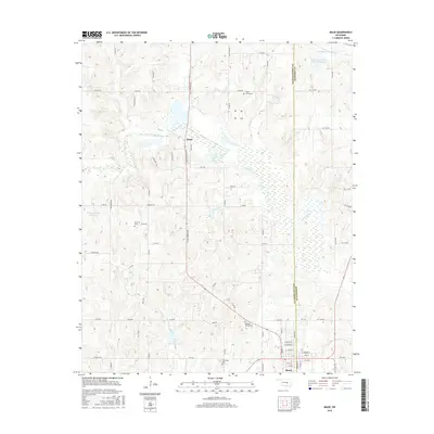
Editions of this 1908 Maud Map
3 editions found
Historical Maps of Tecumseh Through Time
8 maps found
Featured Locations
Source Details
SourceU.S. Geological Survey
CopyrightPublic Domain