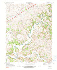
1972 Map of Maud
USGS Topo · Published 1990About this map
Beech Fork winds through the heart of this central Kentucky landscape, marking the undulating boundary between Nelson and Washington counties. In the early 1970s, this area remained defined by its rural settlements and traditional water crossings, most notably the Covered Bridge spanning the Chaplin River in the northeastern corner. The convergence of Beech Fork and the Chaplin River creates a complex network of ridges and bottoms where small communities like Maud and Mooresville are situated.
Find a feature on this map
33 named features on this map. Tap any name to fly to it.
Don’t see what you’re looking for? This feature index may not catch every label — zoom into the map to look around manually.
Map Details
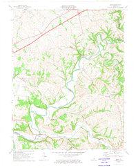
Editions of this 1972 Maud Map
2 editions found
Other maps of this area

1952 · Chaplin
USGS Topo · 1:24,000

1953 · Loretto
USGS Topo · 1:24,000

1953 · Brush Grove
USGS Topo · 1:24,000

1953 · Maud
USGS Topo · 1:24,000

1953 · Saint Catharine
USGS Topo · 1:24,000

1953 · Bardstown
USGS Topo · 1:24,000

1953 · Springfield
USGS Topo · 1:24,000

1953 · Bloomfield
USGS Topo · 1:24,000

1953 · Fairfield
USGS Topo · 1:24,000

1957 · Winchester
USGS Topo · 1:250,000