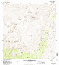
1982 Map of Mauna Kea
USGS Topo · Published 1982About this map
Mauna Kea Observatories sit atop the highest reaches of Hawaii in this 1982 survey, representing a significant period of scientific expansion on the island. The map details the transition from ancient cultural sites like the Keanakakoi (Ancient Quarry) to modern research facilities at the Summit. This high-altitude landscape is characterized by a dense concentration of cinder cones, including Puu Wekiu, Puu Poliahu, and Puu Makanaka, which break the volcanic terrain.
Find a feature on this map
50 named features on this map. Tap any name to fly to it.
Don’t see what you’re looking for? This feature index may not catch every label — zoom into the map to look around manually.
Map Details
Editions of this 1982 Mauna Kea Map
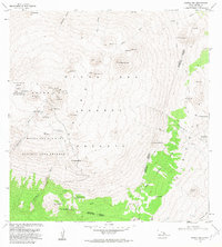
2 editions found
Other maps of this area

1927 · Kaohe
USGS Topo · 1:62,500

1930 · Humuula
USGS Topo · 1:62,500

1930 · Kaohe
USGS Topo · 1:62,500

1954 · Hawaii North
USGS Topo · 1:250,000

1956 · Puu Oo
USGS Topo · 1:24,000

1956 · Pua Akala
USGS Topo · 1:24,000

1956 · Puu Koli
USGS Topo · 1:24,000

1956 · Keanakolu
USGS Topo · 1:24,000

1956 · Upper Piihonua
USGS Topo · 1:24,000

1956 · Makahalau
USGS Topo · 1:24,000