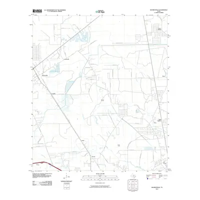
2010 Map of Mauriceville
USGS Topo · Published 2010About this map
Adams Bayou and Little Cypress Bayou define the hydrologic character of this southeast Texas landscape, where low-lying drainage channels like Gum Gully and Cole Creek dictate the pattern of settlement and transit. The area is anchored by the community of Mauriceville, serving as a central hub for surrounding locales like Lemonville, Coughlin, and Gratis. Local heritage is preserved through several family and community burial grounds, including the Wilkinson Cemetery and Saint Marys Cemetery, which are scattered among the residential developments of Forest Heights and Reese. The map reveals a dense network of farm-to-market roads and local lanes, such as FM 1130 and Peveto LN, illustrating the transition from timber and agricultural lands to suburban residential growth north of the Gulf coast.
Find a feature on this map
60 named features on this map. Tap any name to fly to it.
Don’t see what you’re looking for? This feature index may not catch every label — zoom into the map to look around manually.
Map Details
Editions of this 2010 Mauriceville Map
This is the sole edition of this map. No revisions or reprints were ever made.
Other maps of this area

1926 · Terry
USGS Topo · 1:24,000

1926 · Texla
USGS Topo · 1:24,000

1926 · Mauriceville
USGS Topo · 1:24,000

1932 · Orange
USGS Topo · 1:62,500

1943 · Orangefield
USGS Topo · 1:24,000

1943 · Mauriceville
USGS Topo · 1:24,000

1943 · Terry
USGS Topo · 1:24,000

1943 · Texla
USGS Topo · 1:24,000

1946 · Phoenix Lake
USGS Topo · 1:31,680

1947 · Starks
USGS Topo · 1:31,680