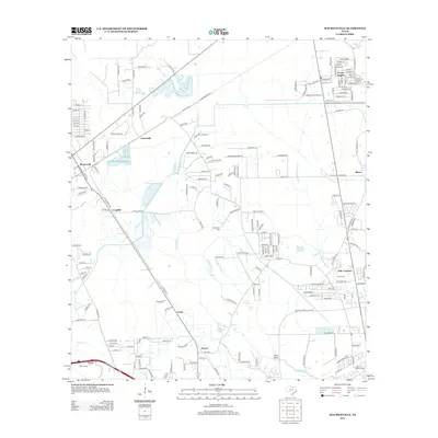
2012 Map of Mauriceville
USGS Topo · Published 2012About this map
Adams Bayou and Little Cypress Bayou anchor the low-lying drainage patterns of this Orange County landscape. The area is defined by a network of rural settlements and residential developments like Mauriceville and Forest Heights that have grown along established transit corridors. Family history and local heritage are anchored by several legacy sites, including Wilkinson Cem and the Parish Cem. Smaller community hubs such as Lemonville, Gratis, and Peveto illustrate the dispersed nature of the county's early development. The drainage of Gum Gully and the course of Cole Cr further delineate the terrain, showing how water management and natural hydrology influenced the placement of farms and homesteads in the region.
Find a feature on this map
190 named features on this map. Tap any name to fly to it.
Don’t see what you’re looking for? This feature index may not catch every label — zoom into the map to look around manually.
Map Details
Editions of this 2012 Mauriceville Map
This is the sole edition of this map. No revisions or reprints were ever made.
Other maps of this area

1926 · Terry
USGS Topo · 1:24,000

1926 · Texla
USGS Topo · 1:24,000

1926 · Mauriceville
USGS Topo · 1:24,000

1932 · Orange
USGS Topo · 1:62,500

1943 · Orangefield
USGS Topo · 1:24,000

1943 · Mauriceville
USGS Topo · 1:24,000

1943 · Terry
USGS Topo · 1:24,000

1943 · Texla
USGS Topo · 1:24,000

1946 · Phoenix Lake
USGS Topo · 1:31,680

1947 · Starks
USGS Topo · 1:31,680