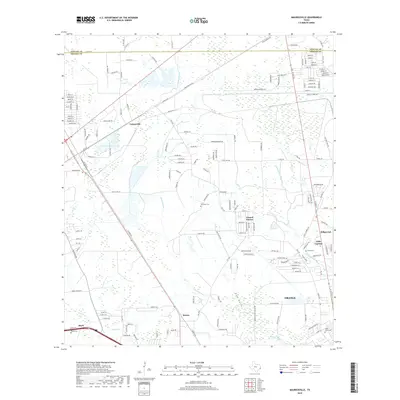
2019 Map of Mauriceville
USGS Topo · Published 2019About this map
Adams Bayou and Little Cypress Bayou dominate the drainage of this East Texas landscape, flowing through a region where residential development and industrial corridors meet the wetlands of the Gulf Coast. The map documents several established communities and smaller settlements, including Lemonville in the north and the outskirts of Orange in the south. These areas are connected by a dense network of local roads such as Owen Burton Rd and Zavalla Rd, illustrating the modern expansion of Orange County northward.
Find a feature on this map
164 named features on this map. Tap any name to fly to it.
Don’t see what you’re looking for? This feature index may not catch every label — zoom into the map to look around manually.
Map Details
Editions of this 2019 Mauriceville Map
This is the sole edition of this map. No revisions or reprints were ever made.
Other maps of this area

1926 · Terry
USGS Topo · 1:24,000

1926 · Texla
USGS Topo · 1:24,000

1926 · Mauriceville
USGS Topo · 1:24,000

1932 · Orange
USGS Topo · 1:62,500

1943 · Orangefield
USGS Topo · 1:24,000

1943 · Mauriceville
USGS Topo · 1:24,000

1943 · Terry
USGS Topo · 1:24,000

1943 · Texla
USGS Topo · 1:24,000

1946 · Phoenix Lake
USGS Topo · 1:31,680

1947 · Starks
USGS Topo · 1:31,680