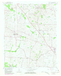
1964 Map of Maury City
USGS Topo · Published 1981About this map
Maury City and the surrounding agricultural landscape of Crockett Co are documented here in a 1964 survey, revised with 1975 aerial data. The map reveals a high density of rural institutions, including Barkers Chapel, Averys Chapel, and the Hamlett Robertson Sch, illustrating the dispersed but connected nature of West Tennessee farming communities. The terrain is defined by a network of drainage systems like Pond Creek and Tucker Creek, which dictated the early placement of settlements such as Crockett Mills.
Find a feature on this map
48 named features on this map. Tap any name to fly to it.
Don’t see what you’re looking for? This feature index may not catch every label — zoom into the map to look around manually.
Map Details
Editions of this 1964 Maury City Map
2 editions found
Other maps of this area

1939 · Halls
USGS Topo · 1:62,500

1952 · Bonicord
USGS Topo · 1:24,000

1952 · Chestnut Bluff
USGS Topo · 1:24,000

1956 · Blytheville
USGS Topo · 1:250,000

1959 · Blytheville
USGS Topo · 1:250,000

1959 · Bells
USGS Topo · 1:24,000

1961 · Jones
USGS Topo · 1:24,000

1961 · Halls
USGS Topo · 1:62,500
1964 · Tibbs
USGS Topo · 1:24,000
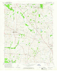
1964 · Maury City
USGS Topo · 1:24,000