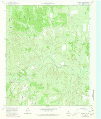
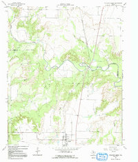
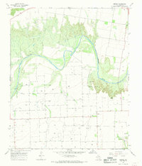
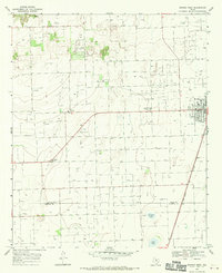
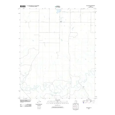
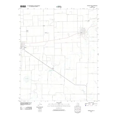
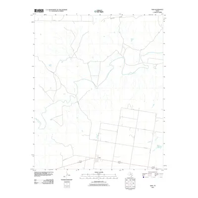
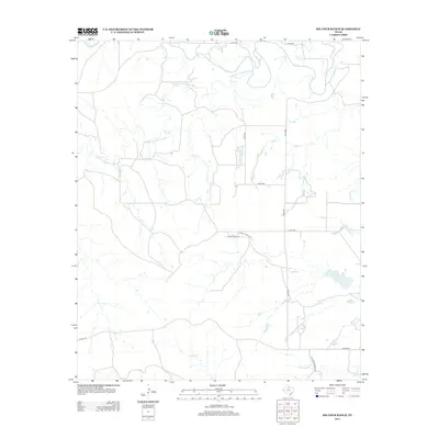
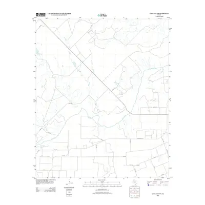
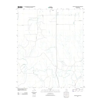
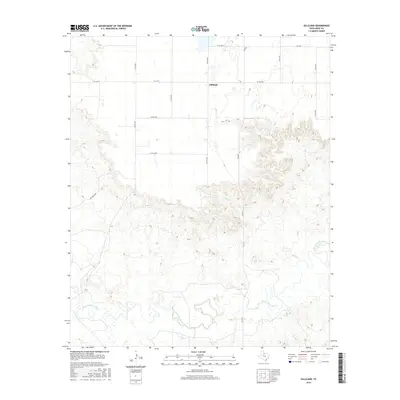
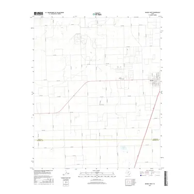
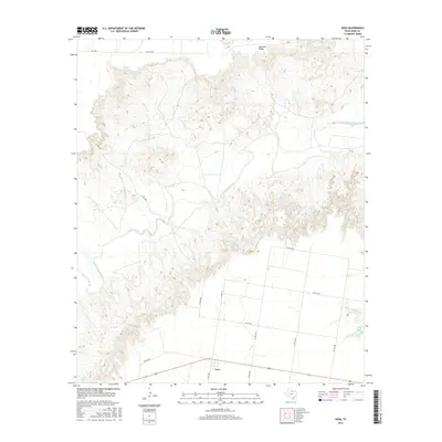
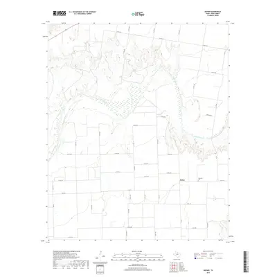
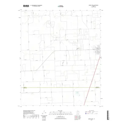
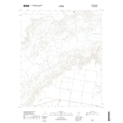
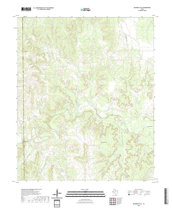
1966 Map of Maverick Flat
USGS Topo · Published 1981About this map
The South Wichita River carves a winding path through this portion of Knox and King Counties, creating a landscape of deep canyons and prominent mesas. The terrain is defined by dramatic elevation changes, where the river meets landmarks like Glover Bend and Maverick Flat. These geological formations are further dissected by several named drainages including Getaway Canyon, Smelter Canyon, and Panther Canyon, suggesting a rugged ranching environment where water and topography dictate the layout of the land. Human activity is sparse and centered on larger landholdings, notably the Alexander Ranch (Headquarters) and a small Corral near the riverbanks. The map documents the intricate network of seasonal streams like Honey Creek and Salt Creek that feed the river system, providing a detailed look at the hydrology and surveying boundaries of this North Texas cattle country during the mid-1960s.
Find a feature on this map
22 named features on this map. Tap any name to fly to it.
Don’t see what you’re looking for? This feature index may not catch every label — zoom into the map to look around manually.
Map Details
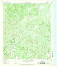
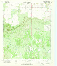
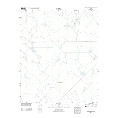
Editions of this 1966 Maverick Flat Map
2 editions found
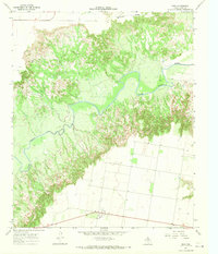
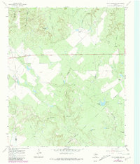
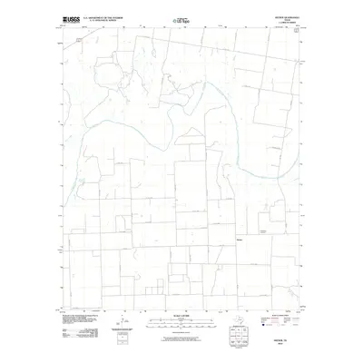
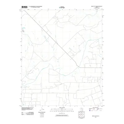
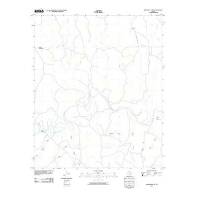
Historical Maps of Knox County Through Time
73 maps found
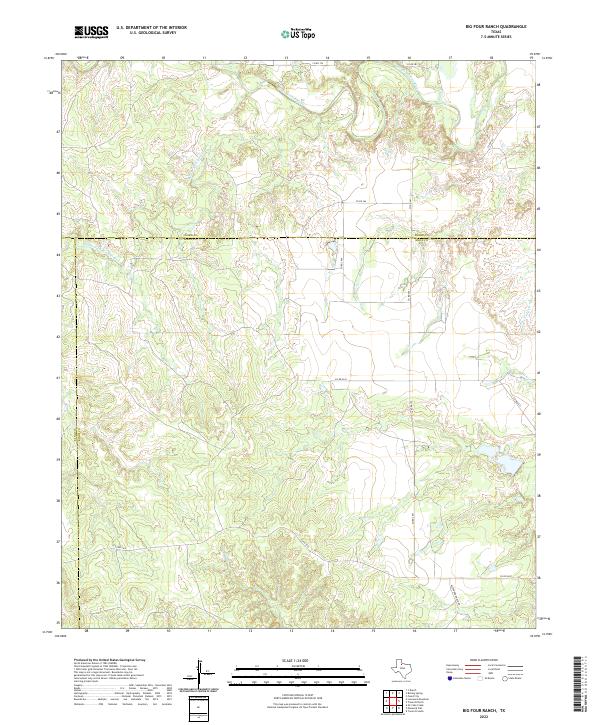
1966 Big Four Ranch
Knox County, TX
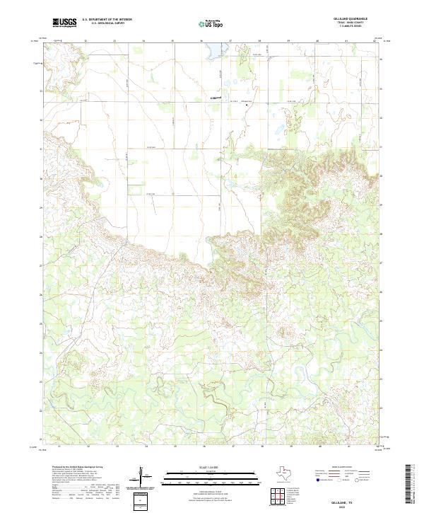
1966 Gilliland
Knox County, TX
1966 Maverick Flat
Knox County, TX
1966 Truscott North
Knox County, TX
1966 Truscott South
Knox County, TX
1966 Vera
Knox County, TX
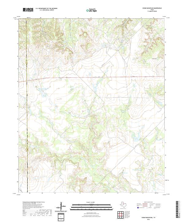
1967 Cedar Mountain
Knox County, TX
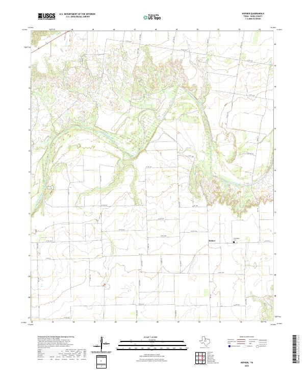
1967 Hefner
Knox County, TX
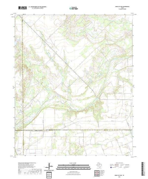
1967 Knox City NW
Knox County, TX
1967 Rhineland
Knox County, TX
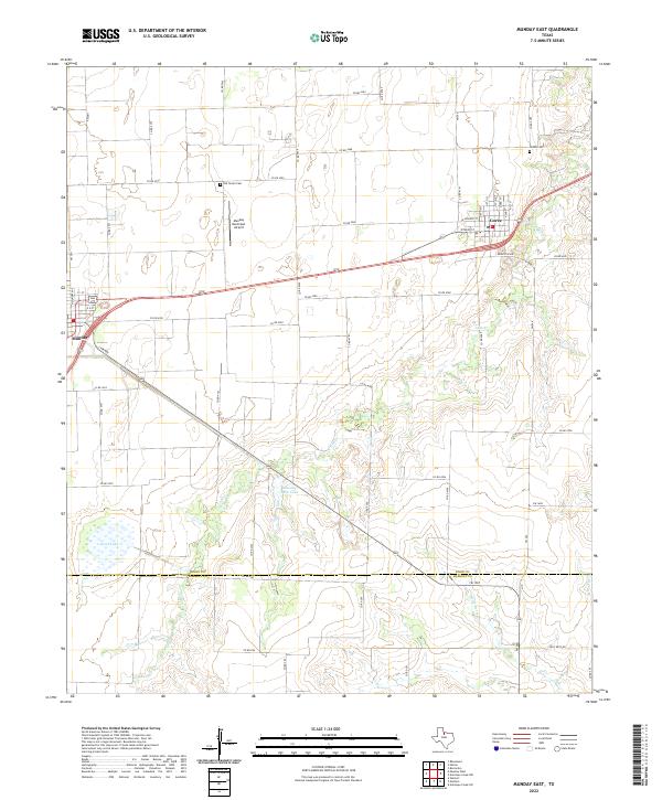
1968 Munday East
Knox County, TX
1968 Munday West
Knox County, TX
1985 Lake Kemp
Knox County, TX
2010 Big Four Ranch
Knox County, TX
2010 Cedar Mountain
Knox County, TX
2010 Gilliland
Knox County, TX
2010 Hefner
Knox County, TX
2010 Knox City NW
Knox County, TX
2010 Maverick Flat
Knox County, TX
2010 Munday East
Knox County, TX
2010 Munday West
Knox County, TX
2010 Rhineland
Knox County, TX
2010 Truscott South
Knox County, TX
2010 Vera
Knox County, TX
2011 Truscott North
Knox County, TX
2012 Maverick Flat
Knox County, TX
2012 Munday East
Knox County, TX
2013 Big Four Ranch
Knox County, TX
2013 Cedar Mountain
Knox County, TX
2013 Gilliland
Knox County, TX
2013 Hefner
Knox County, TX
2013 Knox City NW
Knox County, TX
2013 Munday West
Knox County, TX
2013 Rhineland
Knox County, TX
2013 Truscott North
Knox County, TX
2013 Truscott South
Knox County, TX
2013 Vera
Knox County, TX
2016 Big Four Ranch
Knox County, TX
2016 Cedar Mountain
Knox County, TX
2016 Gilliland
Knox County, TX
2016 Hefner
Knox County, TX
2016 Knox City NW
Knox County, TX

2016 Maverick Flat
Knox County, TX
2016 Munday East
Knox County, TX
2016 Munday West
Knox County, TX
2016 Rhineland
Knox County, TX
2016 Truscott North
Knox County, TX
2016 Truscott South
Knox County, TX
2016 Vera
Knox County, TX
2019 Big Four Ranch
Knox County, TX
2019 Cedar Mountain
Knox County, TX
2019 Gilliland
Knox County, TX
2019 Hefner
Knox County, TX
2019 Knox City NW
Knox County, TX
2019 Maverick Flat
Knox County, TX
2019 Munday East
Knox County, TX
2019 Munday West
Knox County, TX
2019 Rhineland
Knox County, TX
2019 Truscott North
Knox County, TX
2019 Truscott South
Knox County, TX
2019 Vera
Knox County, TX
2022 Big Four Ranch
Knox County, TX
2022 Cedar Mountain
Knox County, TX
2022 Gilliland
Knox County, TX
2022 Hefner
Knox County, TX
2022 Knox City NW
Knox County, TX
2022 Maverick Flat
Knox County, TX
2022 Munday East
Knox County, TX

2022 Munday West
Knox County, TX
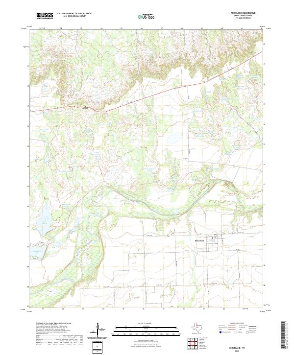
2022 Rhineland
Knox County, TX
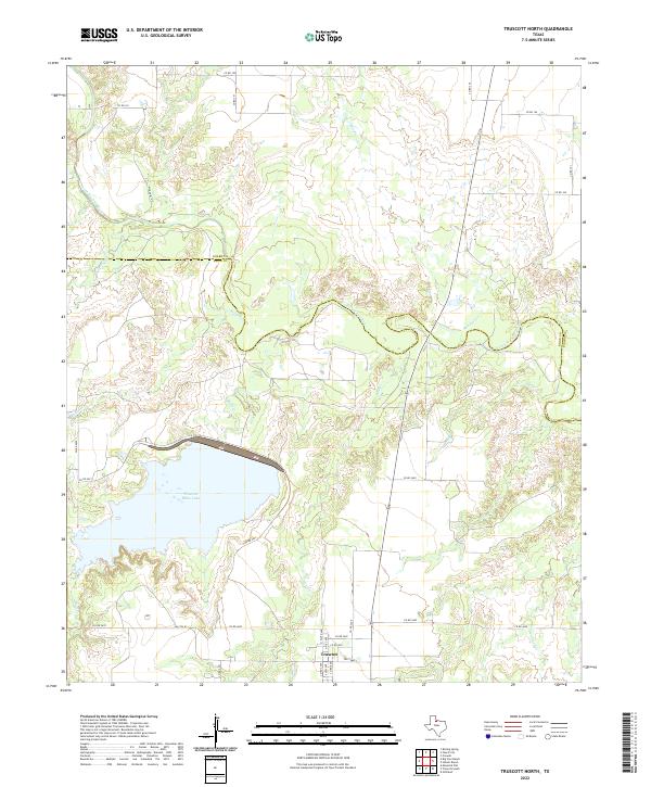
2022 Truscott North
Knox County, TX
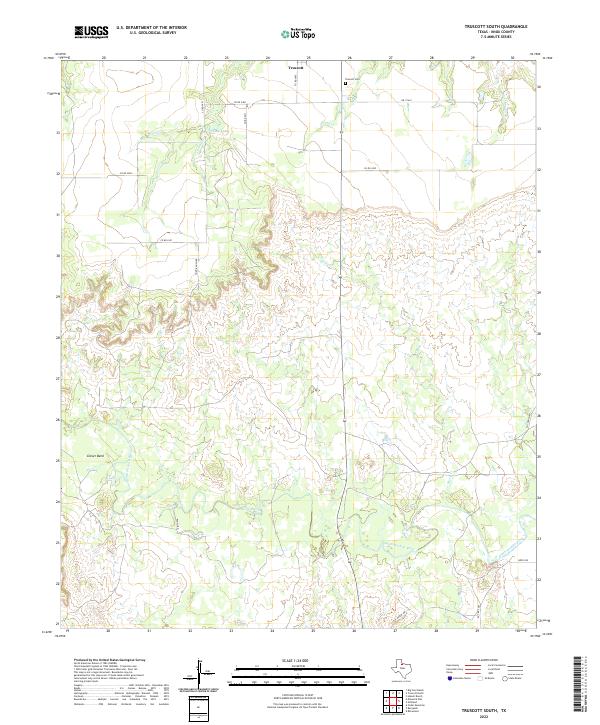
2022 Truscott South
Knox County, TX
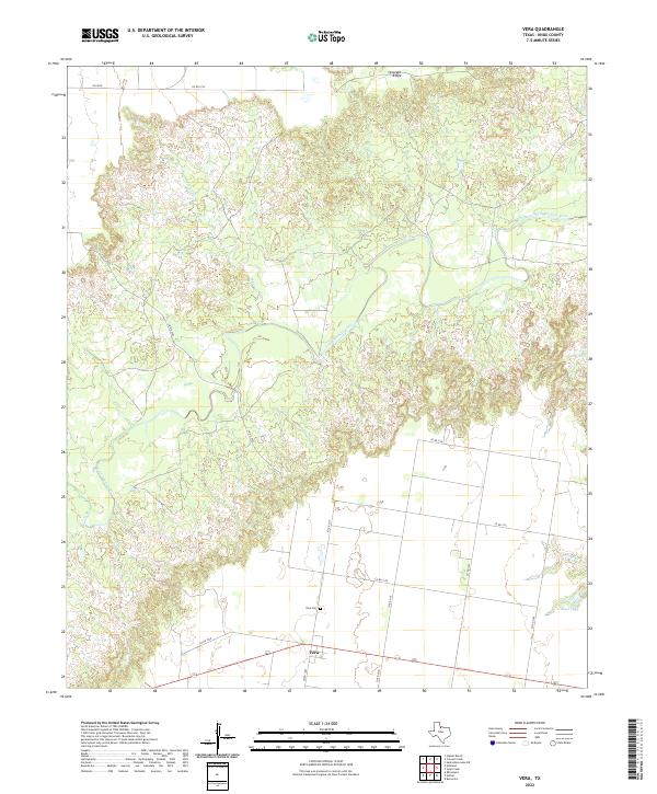
2022 Vera
Knox County, TX