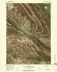
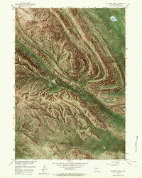
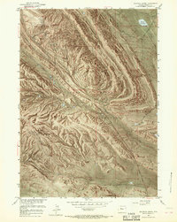
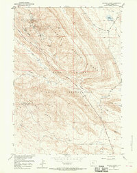
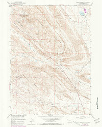
1951 Map of Maverick Spring
USGS Topo · Published 1960About this map
The Wind River Indian Reservation landscape is defined by the heavy presence of the petroleum industry during the mid-century period. Extensive infrastructure supporting the Maverick Spring Oil Field and the Sheldon Dome Oil Field is documented, including a network of oil wells, oil tanks, and a pipe line. The geological character of the region is emphasized by prominent structural features like the Maverick Spring Dome and Little Dome, while the arid environment is punctuated by vital water sources such as Maverick Spring, a Hot Water Well (Artesian), and the Barquin Reservoir. Early transportation routes are noted by the presence of the Mail Road and Camp Road, which navigate between complex drainage systems including Maverick Spring Draw and Teapot Wash near the southern Wildhorse Flats.
Find a feature on this map
23 named features on this map. Tap any name to fly to it.
Don’t see what you’re looking for? This feature index may not catch every label — zoom into the map to look around manually.
Map Details
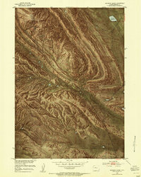
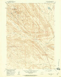
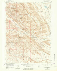
Editions of this 1951 Maverick Spring Map
9 editions found
Other maps of this area

1904 · Kirwin
USGS Topo · 1:125,000

1906 · Kirwin
USGS Topo · 1:125,000

1951 · Lookout Butte SW
USGS Topo · 1:24,000

1951 · Eagle Point
USGS Topo · 1:24,000

1951 · Lookout Butte
USGS Topo · 1:24,000

1951 · Maverick Spring
USGS Topo · 1:24,000

1952 · Antelope Ridge
USGS Topo · 1:24,000

1952 · Crowheart Butte
USGS Topo · 1:24,000

1952 · Crowheart NE
USGS Topo · 1:24,000

1952 · Bargee
USGS Topo · 1:24,000