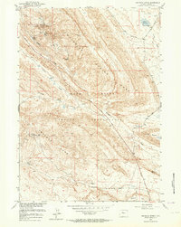
1951 Map of Maverick Spring
USGS Topo · Published 1964About this map
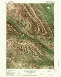
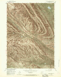
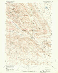
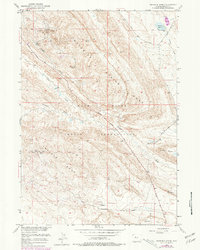
Oil exploration and geological structure dominate this portion of the Wind River Indian Reservation in the early 1950s. The landscape is defined by the prominent Maverick Spring Dome and Sheldon Dome, both of which supported active energy extraction as seen in the Maverick Spring Dome Oil Field and the Sheldon Dome Oil Field. The presence of numerous Maverick Spring Oil Wells, clusters of Oil Tanks, and a specialized Hot Water Well (Artesian) suggests a period of intensive industrial development in this arid terrain.
Find a feature on this map
19 named features on this map. Tap any name to fly to it.
Don’t see what you’re looking for? This feature index may not catch every label — zoom into the map to look around manually.
Map Details
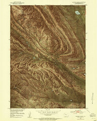
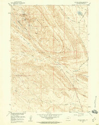
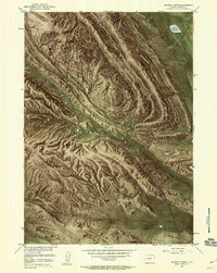
Editions of this 1951 Maverick Spring Map
9 editions found
Other maps of this area

1904 · Kirwin
USGS Topo · 1:125,000

1906 · Kirwin
USGS Topo · 1:125,000

1951 · Lookout Butte SW
USGS Topo · 1:24,000

1951 · Eagle Point
USGS Topo · 1:24,000

1951 · Lookout Butte
USGS Topo · 1:24,000

1951 · Maverick Spring
USGS Topo · 1:24,000

1952 · Antelope Ridge
USGS Topo · 1:24,000

1952 · Crowheart Butte
USGS Topo · 1:24,000

1952 · Crowheart NE
USGS Topo · 1:24,000

1952 · Bargee
USGS Topo · 1:24,000