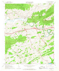
1965 Map of Max Meadows
USGS Topo · Published 1968About this map
The Norfolk and Western railway and the meandering Reed Creek anchor this landscape during a period of infrastructure expansion in Wythe County. The map captures the community of Max Meadows and the surrounding valley before the modern highway corridor was fully established, noting the Proposed Location of future roads. Significant local landmarks include the Wytheville National Fish Hatchery No 2 and the Walton Furnace, pointing to both the conservation and industrial history of the region. The presence of the Drive-in Theater and Farmers Store reflects mid-century rural commerce, while numerous small churches like Mount Vale Ch and St Pauls Ch serve the dispersed settlements. This survey provides a record of the area's transition, from the wooded slopes of Lick Mountain to the agricultural pockets at Grahams Forge and Fort Chiswell.
Find a feature on this map
56 named features on this map. Tap any name to fly to it.
Don’t see what you’re looking for? This feature index may not catch every label — zoom into the map to look around manually.
Map Details
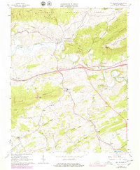
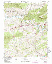
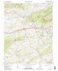
Editions of this 1965 Max Meadows Map
4 editions found
Other maps of this area

1887 · Pocahontas
USGS Topo · 1:125,000

1889 · Hillsville
USGS Topo · 1:125,000

1889 · Wytheville
USGS Topo · 1:125,000

1890 · Dublin
USGS Topo · 1:125,000

1891 · Pocahontas
USGS Topo · 1:125,000

1891 · Dublin
USGS Topo · 1:125,000

1892 · Hillsville
USGS Topo · 1:125,000

1892 · Wytheville
USGS Topo · 1:125,000

1894 · Pocahontas
USGS Topo · 1:125,000

1895 · Pocahontas
USGS Topo · 1:125,000